Camping in Baden-Württemberg
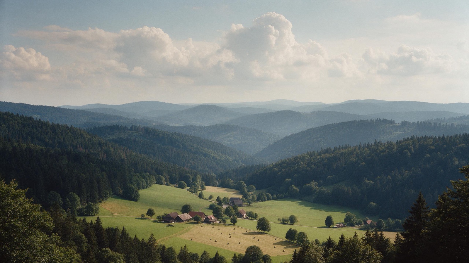
Baden-Württemberg carries three landscapes that have little in common. The Black Forest with its narrow valleys and raised bogs, the limestone Swabian Alb with its juniper heaths, and Lake Constance, where the orchards flower in April and the Alps stand on the far shore.
The year in this region
October: Autumn at the Wilde See
The Wilde See at Ruhestein lies at 910 meters and is a cirque lake left by the ice age. It measures 2.4 hectares. The forest around it has been a Bannwald since 1911, the oldest in the state, and nothing has been touched there since. In October the beeches glow between spruce and fir, and since 2014 the area belongs to the Nationalpark Schwarzwald.
In the middle of the month the sun rises at 7:43 AM and sets at 6:36 PM. That leaves 10 hours and 53 minutes of daylight.
What nature does this month
- Beech turns to autumn colours around October 15 (usually between October 7 and October 22)
- Oak turns to autumn colours around October 22 (usually between October 13 and October 29)
Water and air: Open-Meteo, measured averages. How busy: share of school holidays 2027 across all sixteen federal states. Nature dates: German Weather Service, phenological observations 2014 to 2026 at 667 stations in the region, typical day.
Tours in this region
Marked tours that fit into a day from a site, and one multi day tour per kind.
- Hiking
Westweg
The oldest long distance trail in the Black Forest, marked with the red diamond since 1900, from Pforzheim to Basel. It keeps to the main ridge and crosses the grinden, treeless high ground, with views as far as the Vosges. Cirque lakes and raised bogs lie right beside the path.
285 kmMulti day tour
- Hiking
Schluchtensteig
Section 1
The trail runs through the narrowest gorges of the southern Black Forest, above all the Wutach, where the river has cut as much as a hundred and seventy metres into the rock. Down there it is damp and cool, ferns and orchids grow, and the path runs narrow and in places exposed along the rock. Solid boots are not a recommendation here but a condition.
18.2 km
- Hiking
Neckarsteig
From Heidelberg upstream to Bad Wimpfen, always above the slopes of the Neckar valley. Four castles stand within sight of each other on the heights, and between them the path runs through beech woods and along vineyards. If you do not want to walk back, the train runs down in the valley.
126.3 kmMulti day tour
- Cycling
Neckartal-Radweg
From the source near Schwenningen to where the Neckar meets the Rhine, through densely settled Württemberg and yet mostly along the water. The stretch between Heidelberg and Heilbronn is the finest: a narrow valley, castles on both sides, vineyards down to the bank. Flat almost throughout.
373.6 km766 m ascentMulti day tour
- Cycling
Bodensee-Radweg
Once around the lake, through three countries, with the Alps as a backdrop in the south. The route alternates between lakeside promenade, orchards and vine slopes and is so well built that it works with children. Ferries between the shores shorten the loop as you like.
260 kmMulti day tour
- Cycling
Donauradweg
Section Baden-Württemberg
The Baden-Württemberg leg starts at the Danube source in Donaueschingen and runs through the gorge the river cut into the Swabian Jura. There it flows between white limestone cliffs carrying castles such as Wildenstein, while the monastery of Beuron sits on the valley floor below. In summer the Danube sinks away entirely in places and resurfaces twelve kilometres on at the Aachtopf, whose water flows into Lake Constance.
203.9 kmMulti day tour
- Canoeing
Tauber
A quiet little river through the Tauber valley, between vineyards and half timbered towns. The current is gentle enough for beginners, and the route passes Bad Mergentheim, Tauberbischofsheim and Wertheim. When the water is low at the height of summer it gets tight in places.
54.6 km
- Cross country skiing
Schauinslandspur
The track belongs to the trail network at the Notschrei pass south of Freiburg, at a good eleven hundred metres, and runs through the forest towards the Wiedener Eck. Snow lasts longer here than elsewhere in the southern Black Forest. The pass road takes you up; there is no cable car.
17.3 km
Tours: © OpenStreetMap contributors, ODbL. Lengths computed from the mapped course, as of September 12, 2026.
Animals you can meet here
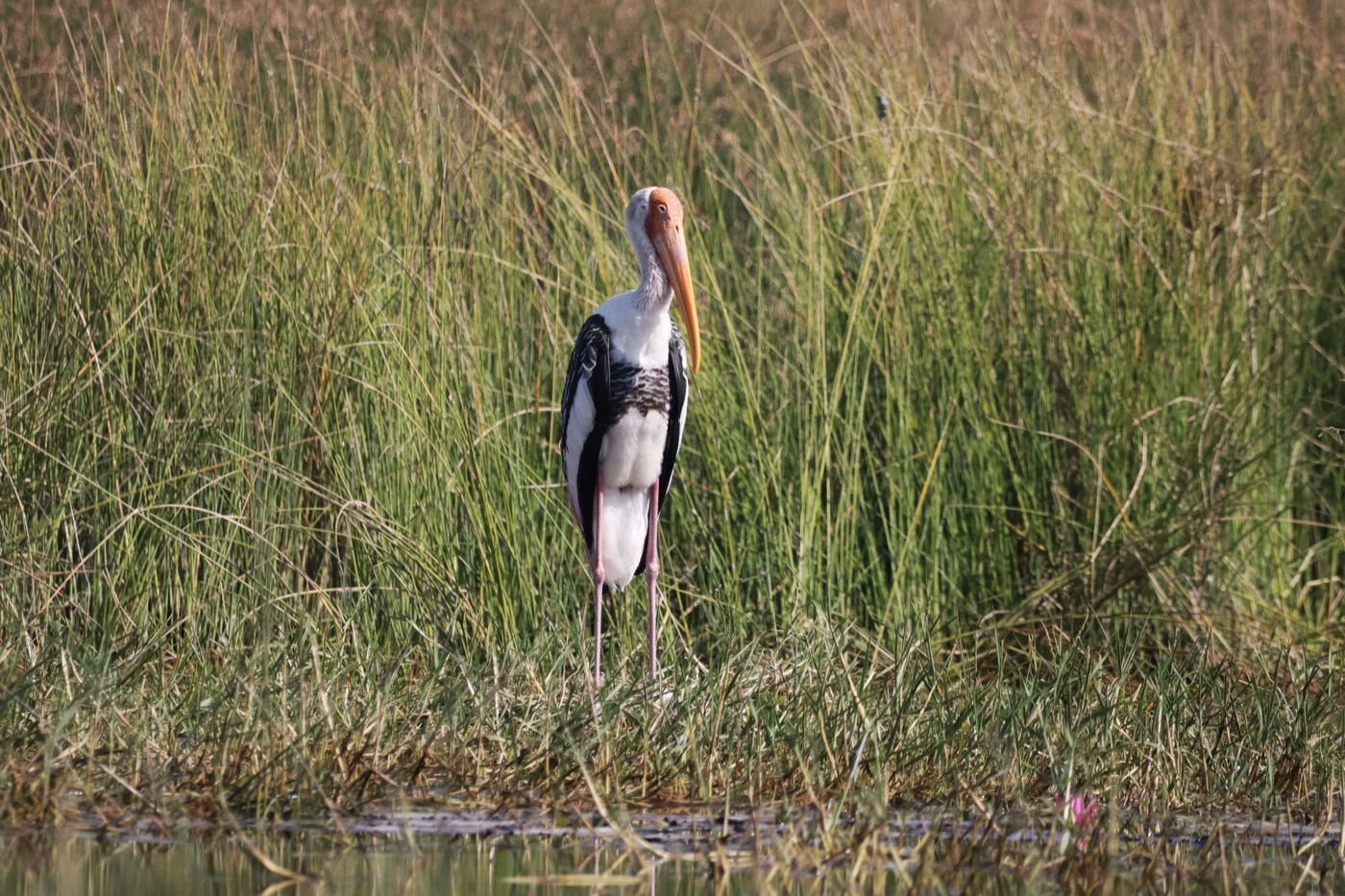 March to August
White stork
The storks return from their winter quarters in spring and move back into last year's nest. Where wet meadows border the village the nests sit close together, sometimes a dozen in one place.
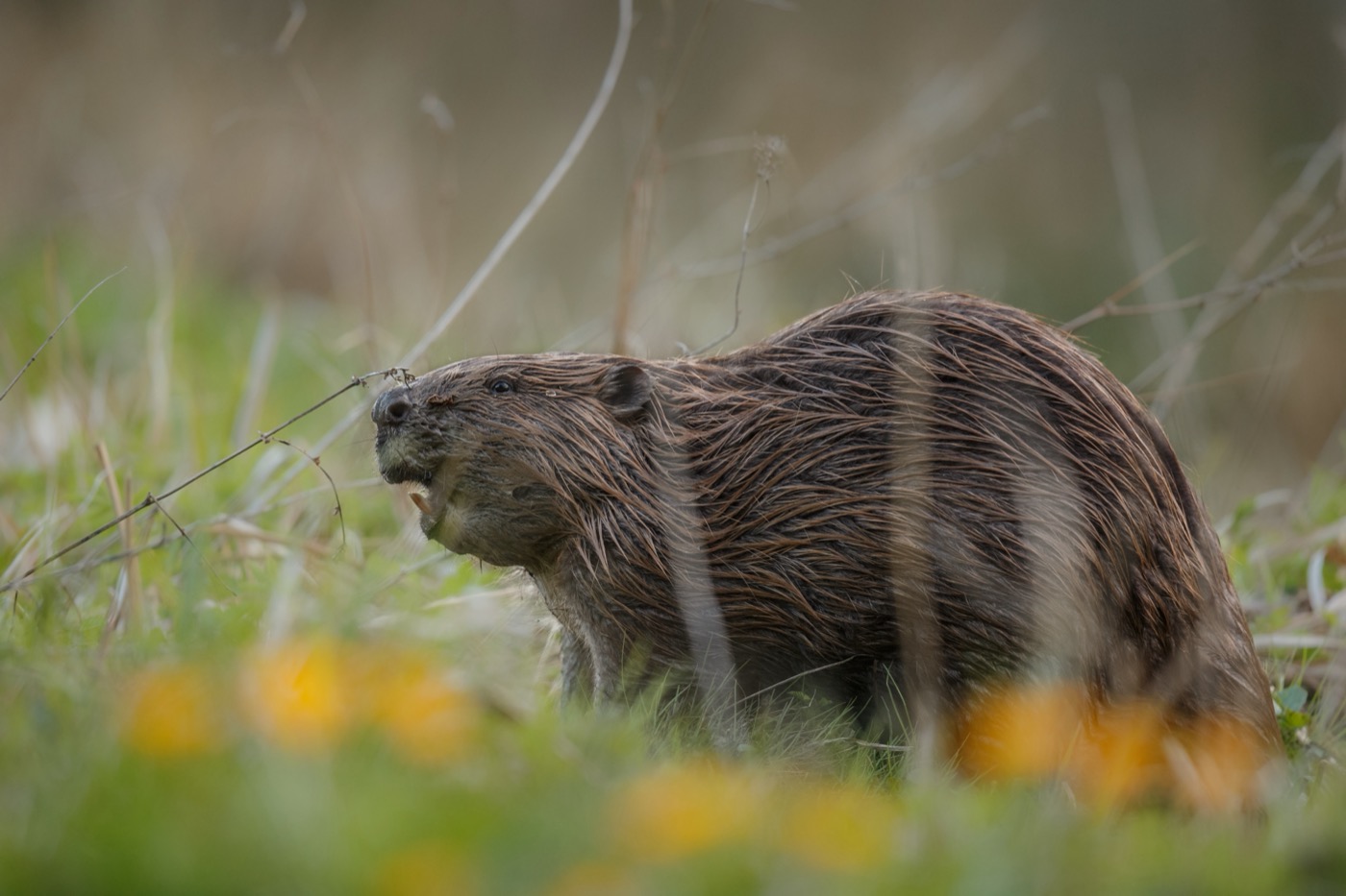 all year
Eurasian beaver
The beaver itself is rarely seen, its work everywhere: gnawed trunks at the bank, dams across the stream, flooded ground full of dead wood. Sit quietly by the water at dusk and you hear it before you see it.
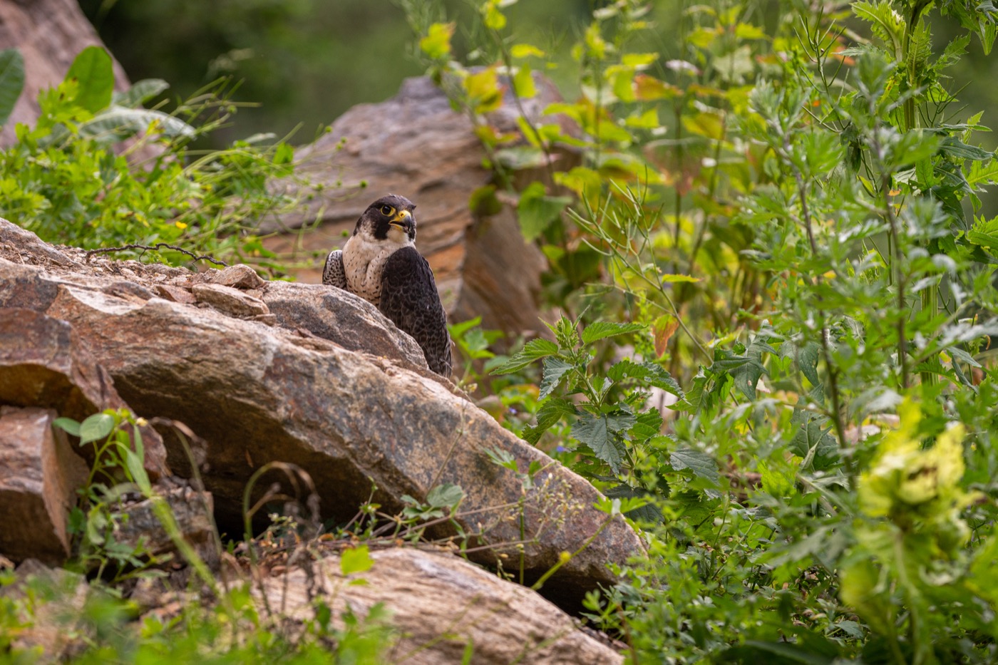 March to June
Peregrine falcon
The fastest animal on earth passes 300 kilometres an hour in a stoop. It nests on the cliffs above the rivers, and during the breeding season single climbing crags stay closed so it can raise its young in peace.
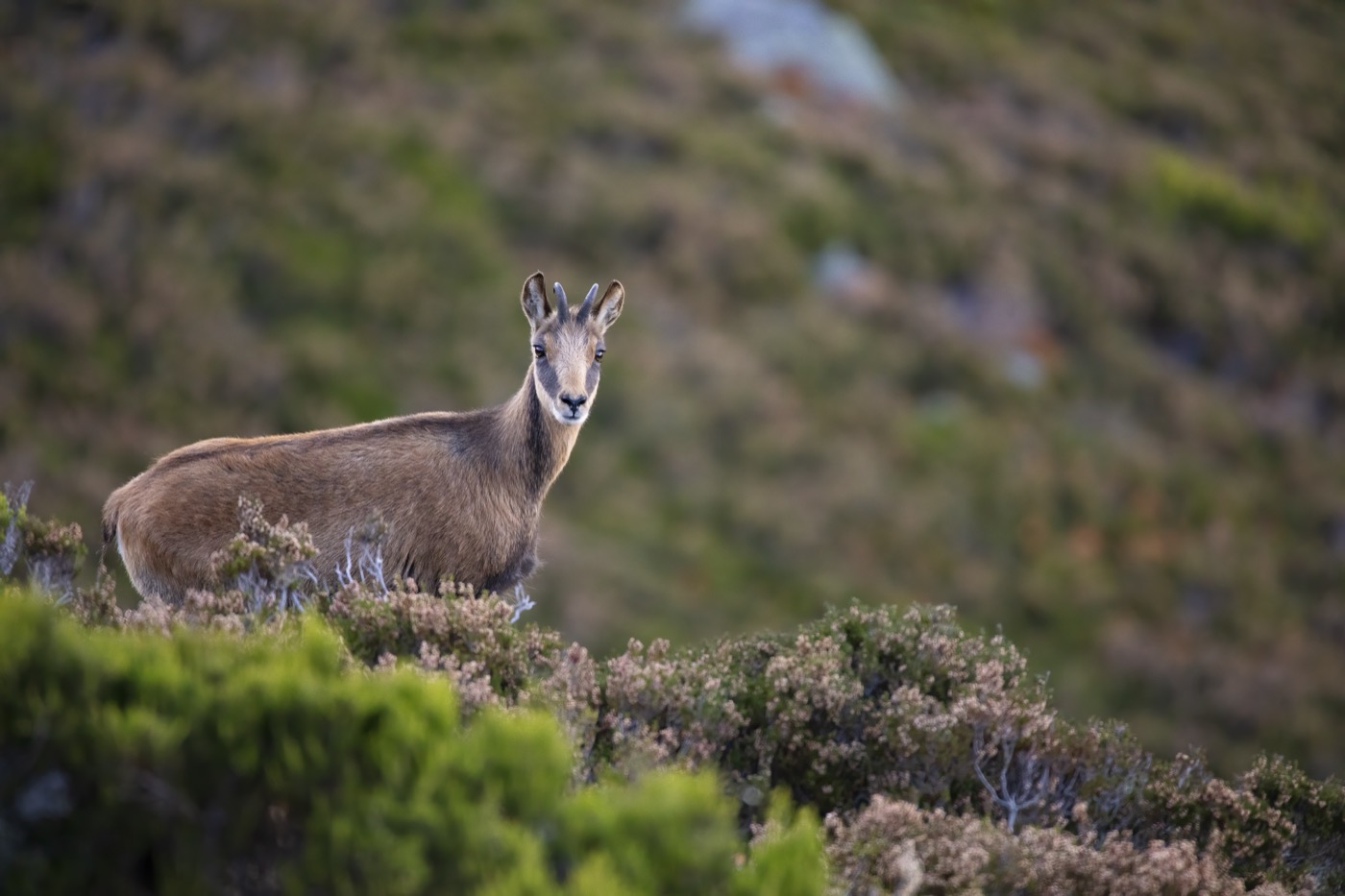 all year
Chamois
Chamois in the Black Forest come as a surprise, since this is really an alpine animal. A population has lived in the rocks of the southern Black Forest for a hundred years, most likely seen above the Wutach gorge.
Pictures: Freepik
Getting there
- 1 h 45 minKarlsruhe
- 2 h 10 minStuttgart
- 3 h 00 minFrankfurt am Main
- 4 h 10 minMünchen
- 4 h 30 minKöln
- 8 h 00 minBerlin
Good to know
Car ferry from Konstanz to Meersburg
The ferry run by Stadtwerke Konstanz sails around the clock, 365 days a year. The crossing covers 4.8 kilometers and takes about 15 minutes. By day the boats follow close on each other. At night the gaps are wider.
Swimming in Lake Constance
From June the lake is warm enough. It is deep and cold in the middle, and the shipping lanes are no place to swim. Stay at the marked bathing areas.
Fire and barbecues
Open fire is banned in the forest and within a hundred metres of it, all year. Barbecue places are marked, and in a long dry spell those are closed too.
Dogs in protected areas
In the Black Forest national park and in the nature reserves of the Alb dogs go on the lead. Elsewhere in the forest a reliable recall is enough. Sheep graze the juniper heaths, and the guard dogs react to loose dogs.
Gradients and narrow valleys
The Black Forest high road climbs evenly and stays below ten per cent. Double figures come on the Kandel above Waldkirch, with ramps up to fifteen per cent, and on the Schauinsland out of the Münstertal. In the wet and in winter the tyres matter more than the engine.
Capercaillie in the high forest
One of the last capercaillie populations in Germany lives here, some two to three hundred birds. In the Feldberg nature reserve you must stay on the paths all year, with closed rest areas added in winter. Flushed birds burn reserves that run low in winter, and from March to mid-July the brood suffers.
Protected landscapes
- National park
- Schwarzwald
- Biosphere reserve
- Biosphärengebiet Schwäbische AlbBiosphärengebiet Schwarzwald
Names and boundaries: © OpenStreetMap contributors.
About this region
Baden-Württemberg carries the Black Forest, the German share of Lake Constance and the Swabian Alb. Add to that the Danube valley, the Kraichgau and the Odenwald in the north.
Lake Constance is the busy address in summer, the Black Forest has more room and more shade. Many sites sit on rivers, and on a hot day that counts for more than any facility.
