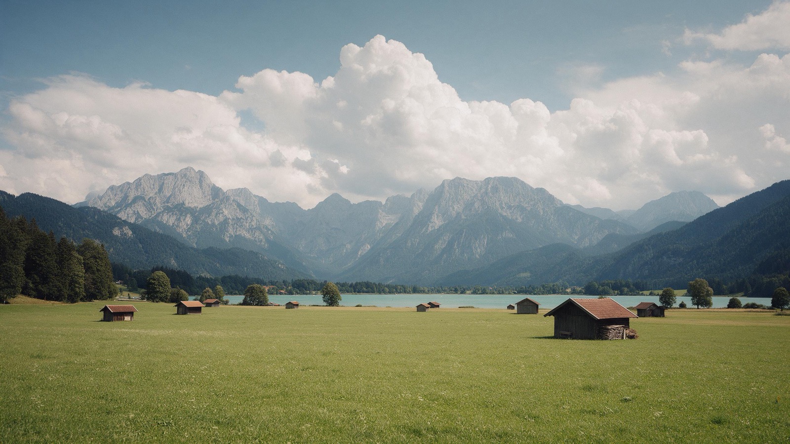
Camping in Bavaria
Bavaria does not stop at the Alps. The south carries the mountains and the large lakes, the Altmühl valley and the Franconian Lake District lie in the middle, the Bavarian Forest stands in the east, and the northern third is Franconia, with the vineyards along the Main.
The year in this region
October: Carp netting in the Aischgrund
More than 7,000 ponds lie along the Aisch, and carp have been farmed there for over a thousand years. From September the fish come out of the drained ponds in nets. In October the TeichKulturWochen open the ponds to visitors. Since 2012 the origin of the Aischgründer Karpfen has been protected.
In the middle of the month the sun rises at 7:34 AM and sets at 6:26 PM. That leaves 10 hours and 52 minutes of daylight.
What nature does this month
- Apple picking starts around October 5 (usually between September 26 and October 12)
- Beech turns to autumn colours around October 12 (usually between October 5 and October 19)
- Oak turns to autumn colours around October 20 (usually between October 12 and October 27)
Water and air: Open-Meteo, measured averages. How busy: share of school holidays 2027 across all sixteen federal states. Nature dates: German Weather Service, phenological observations 2014 to 2026 at 1172 stations in the region, typical day.
Tours in this region
Marked tours that fit into a day from a site, and one multi day tour per kind.
- Hiking
Goldsteig
The longest quality hiking trail in Germany runs through the Bavarian and Upper Palatinate forests, in a northern and a southern variant. The north route follows the ridges with views into Bohemia, the south route runs more gently over the hills of the front Bavarian Forest. Up on top stand remnants of old growth forest that was never felled.
660 kmMulti day tour
- Hiking
Altmühltal-Panoramaweg
The trail keeps changing between the heights above the Altmühl valley and the river itself. Up on top are juniper heaths and white limestone cliffs left by the Jurassic sea; down below the Altmühl meanders slowly through meadows. In the quarries along the way you may split stone for fossils yourself.
202.9 kmMulti day tour
- Hiking
Frankenweg
From the Franconian Forest to the edge of the Swabian Jura, straight through what makes Franconia: beech woods, orchard meadows, sandstone crags and juniper heaths. The trail bypasses the larger towns and runs four fifths of the way on near-natural paths and fine gravel. In Franconian Switzerland the rock pinnacles and caves come thick and fast.
523 kmMulti day tour
- Cycling
Bodensee-Königssee-Radweg
The classic along the edge of the Alps, from Lindau to Berchtesgaden, with the mountains always on your right. The route passes lakes, monasteries and bogs and stays mostly in the foothills, so it needs no mountain experience. The biggest climbs are in the Allgäu, where the route reaches almost a thousand metres at Oy-Mittelberg.
455.8 km3530 m ascentMulti day tour
- Cycling
Altmühltal-Radweg
The route follows the Altmühl from Gunzenhausen to Kelheim, where it joins the Danube, almost entirely along the valley floor. White Jurassic cliffs stand on both sides with juniper heath between them. At the end comes the Danube gorge at Weltenburg, which you pass through by boat.
244.8 kmMulti day tour
- Cycling
Main-Radweg
The Main counts as the friendliest river for cycling: hardly a climb, sealed for nine tenths of the way, and a village with a wine tavern every few kilometres. The route follows the great loops through Franconia, past Würzburg, Volkach and Wertheim. Vineyards cover the south facing slopes, forest the north facing ones.
608.9 kmMulti day tour
- Canoeing
Main
The Main is wide, calm and well set up for paddling, with small boat locks at most of the barrages. You drift through the vineyard loops of Franconia, past half timbered villages and old stone bridges. Cargo ships use the river too, so keep right and stay visible.
354 kmMulti day tour
- Canoeing
Fränkische Saale
A small, clear river along the southern edge of the Rhön, lined with trees in many places, their branches hanging low over the water. It flows slowly and is dammed by weirs over long stretches, so the route is paddled under your own power. At the spa towns along the way the old salt works are worth a stop.
58.3 km
Tours: © OpenStreetMap contributors, ODbL. Lengths computed from the mapped course, as of September 12, 2026.
Animals you can meet here
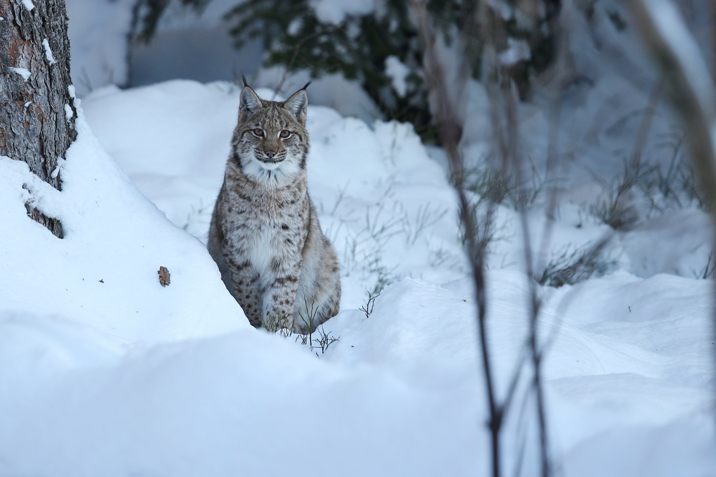 all year
Eurasian lynx
The lynx had been wiped out in Germany and came back through releases, in the Harz, in the Bavarian Forest and since 2016 in the Palatinate Forest. Seeing one in the wild is luck; finding its tracks in snow is not unusual.
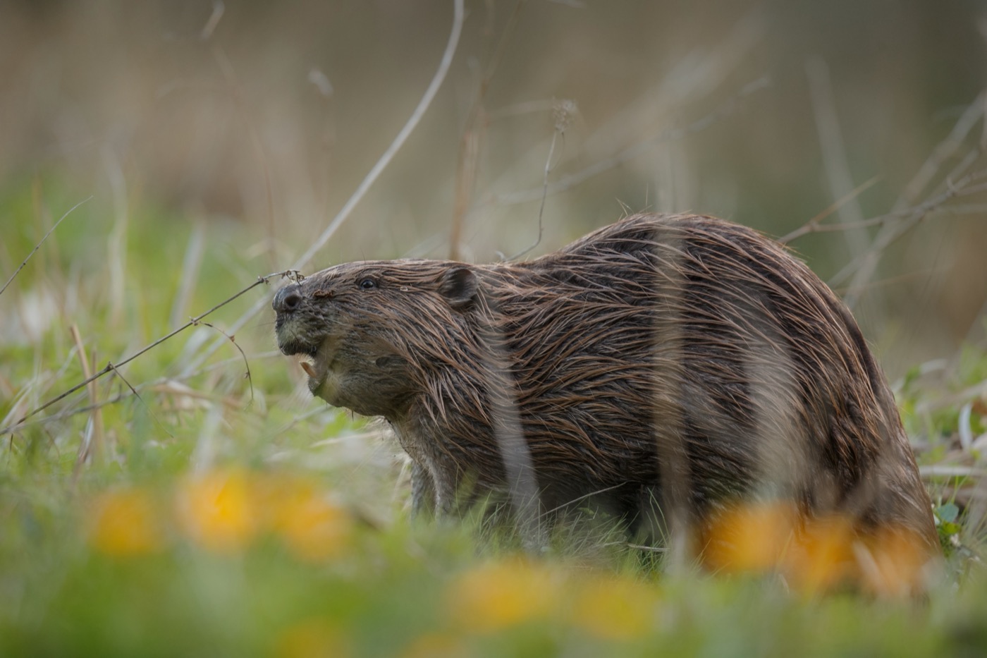 all year
Eurasian beaver
The beaver itself is rarely seen, its work everywhere: gnawed trunks at the bank, dams across the stream, flooded ground full of dead wood. Sit quietly by the water at dusk and you hear it before you see it.
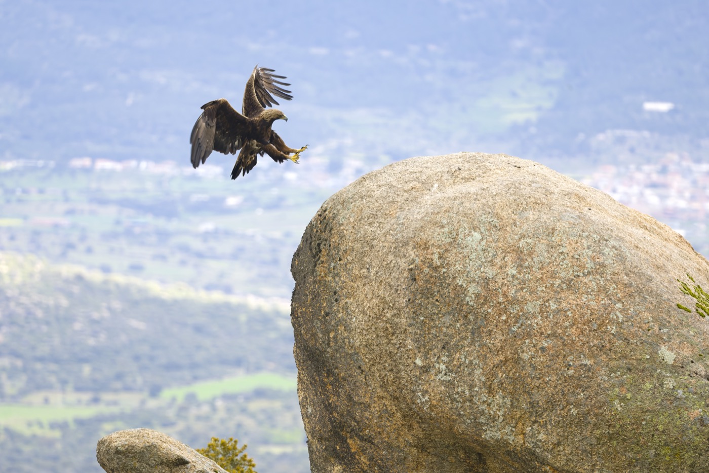 all year
Golden eagle
Around fifty pairs breed in the Bavarian Alps, each holding a territory of many square kilometres. Look for it not at the summits but over the slopes, where warm air rises and it circles without beating a wing.
 May to September
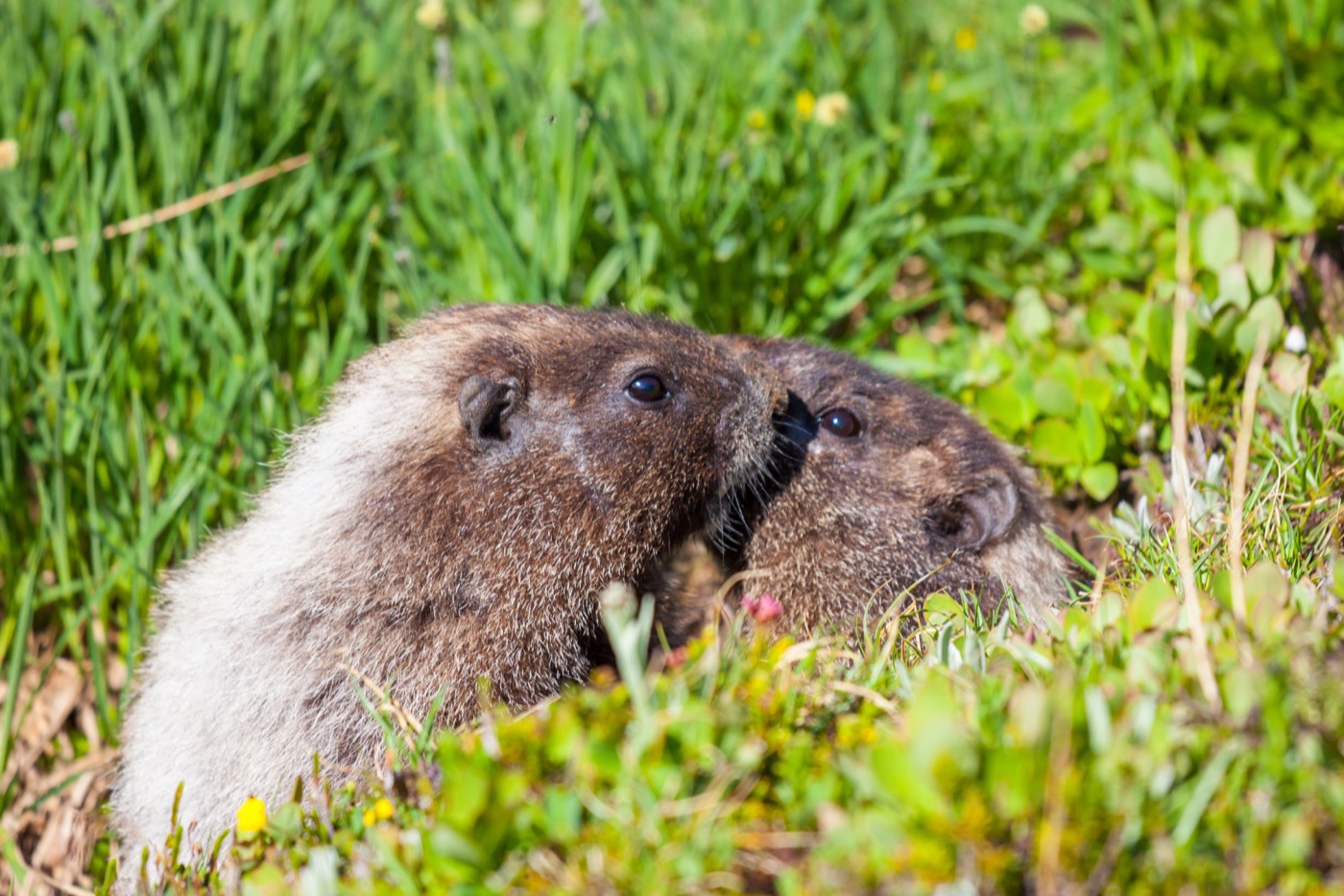
Alpine marmot
Above the tree line the marmots sit at their burrows and keep watch. Come too close and the sentry whistles, and the whole colony drops into the ground at once.
Pictures: Freepik
Dark skies
Places certified by DarkSky International.
Sternenpark Bayerischer Wald
Certified in 2025, one of the youngest in the country. High up in the Bavarian Forest the sky is at its clearest in winter, when cold dry air sits over the ridges.
Sternenpark Rhön
The biosphere reserve where three states meet is among the darkest country in central Germany. The Hohe Geba has observing platforms for telescopes, and a dozen open air sky sites come with loungers and star charts.
Winklmoosalm
The alp sits at 1,200 metres above Reit im Winkl, above the haze that hangs in the valley. The mountains also screen off the light of the towns around.
Getting there
- 1 h 15 minMünchen
- 3 h 00 minNürnberg
- 3 h 30 minStuttgart
- 5 h 00 minFrankfurt am Main
- 7 h 00 minBerlin
- 8 h 30 minHamburg
Good to know
Toll on the Rossfeld Panoramastraße
The panoramic road above the Berchtesgadener Land is open all year and charges a toll. The toll booth charges by vehicle. Sleeping in the vehicle or camping along the route is not allowed.
Mountain roads and tolls
Some valley roads are narrow and have weight limits, and a few side-valley approaches are closed to private traffic altogether. Anyone driving on into Austria needs the vignette up to 3.5 tonnes of technically permissible maximum mass, and the GO-Box above that. Motorhomes registered at 3.5 tonnes before December 2023 keep the vignette until the end of January 2029. The Brenner and Tauern routes cost extra on top.
Dogs and grazing cattle
On alpine pasture: keep your distance from cows with calves, dog on a short lead, and if a cow comes at you let the dog go and step aside yourself. Close every gate behind you.
Fire in the forest
Open fire is banned in the forest and within a hundred metres of it, all year round. Barbecues belong on the marked sites, and when the fire risk is high those are closed too.
Wildlife at dusk
In the Alpine valleys it is mostly deer that cross the roads, early and late in the day. Chamois usually stay above the tree line in summer and only come down into lower, wooded ground in winter. At that time of year the protected areas require you to stay on the paths so the animals are not driven off their reserves.
Swimming in mountain lakes
The lakes stay cool even at the height of summer, often below twenty degrees. The Walchensee is almost two hundred metres deep and gets cold water from the Rißbach and Isar rivers. Do not swim far out, and do not go straight in after a climb.
Protected landscapes
- National park
- Bayerischer WaldBerchtesgaden
- Biosphere reserve
- Rhön
- Nature park
- Augsburg - Westliche WälderBayerische RhönBayerischer OdenwaldBayerischer WaldFichtelgebirgeFrankenhöheFrankenwaldFränkische Schweiz - FrankenjuraHaßbergeHirschwaldKarwendelNagelfluhketteNördlicher Oberpfälzer WaldOberer Bayerischer WaldOberpfälzer WaldSpessartSteigerwaldSteinwaldTiroler Lech
Names and boundaries: © OpenStreetMap contributors.
About this region
Bavaria has the Alps, and it has everything in front of them. Between Lake Constance and Berchtesgaden lie the Allgäu, the Werdenfels country and the Chiemgau, further north the Bavarian Forest, Franconian Switzerland and the Altmühl valley.
The season is shorter in the mountains, but many sites there stay open through the winter. The lakes get tight in July and August, and do not in June or September.
