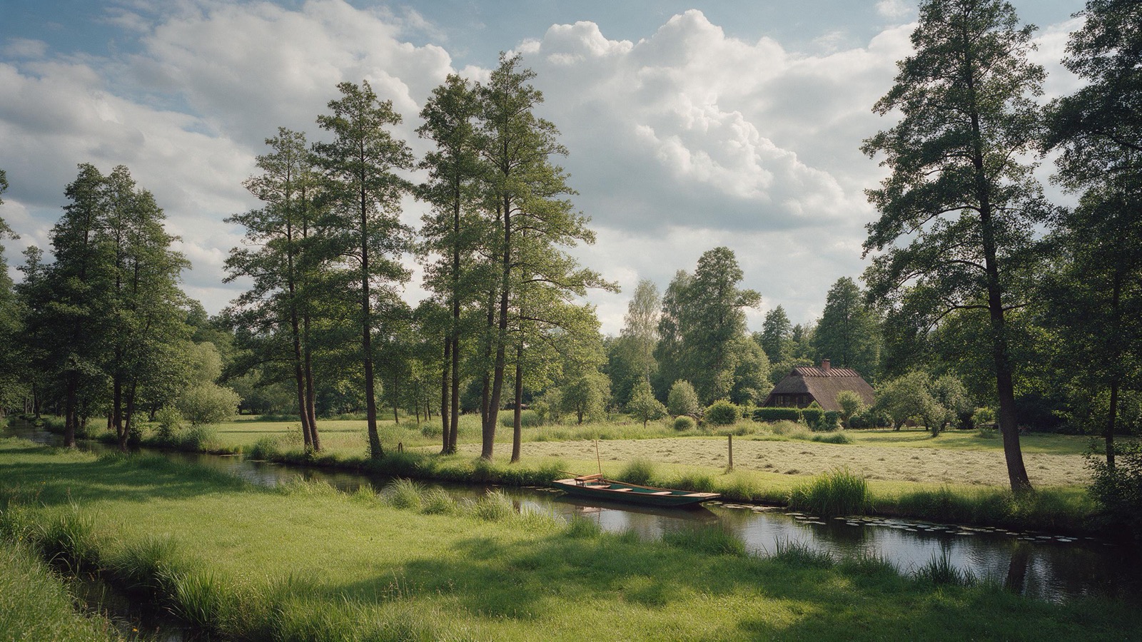
Camping in Brandenburg
Brandenburg has more lakes than any other German state and still lies right outside Berlin. The Spreewald with its water channels, the Uckermark with its quiet lakes, the Havelland, and in the south the Lusatian lake district created from disused opencast mines.
The year in this region
October: Cranes rest at Linum
The stopover peaks in the middle of October. Over the Linumer Teiche in the Rhinluch more than a hundred thousand cranes gather in good years, one of the largest staging areas in Europe. In the evening they fly in long lines to their roosts in shallow water, in the morning back out to the fields.
In the middle of the month the sun rises at 7:34 AM and sets at 6:17 PM. That leaves 10 hours and 43 minutes of daylight.
What nature does this month
- Apple picking starts around October 2 (usually between September 21 and October 11)
- Beech turns to autumn colours around October 19 (usually between October 11 and October 24)
- Oak turns to autumn colours around October 21 (usually between October 15 and October 28)
Water and air: Open-Meteo, measured averages. How busy: share of school holidays 2027 across all sixteen federal states. Nature dates: German Weather Service, phenological observations 2014 to 2026 at 378 stations in the region, typical day.
Tours in this region
Marked tours that fit into a day from a site, and one multi day tour per kind.
- Hiking
66-Seen-Wanderweg
A ring around Berlin that runs from lake to lake and hardly ever touches tarmac. Stages almost always end at a station, usually on a regional line and in some places on the suburban railway, so you can join or leave the walk at any point. In autumn the broadleaf trees between the pines turn, and at many of the lakes the jetty sits right beside the path.
400 kmMulti day tour
- Hiking
Märkischer Landweg
From Fürstenberg an der Havel through the Uckermark to the Oder near Mescherin, through one of the most thinly settled corners of Brandenburg. The trail passes through the Schorfheide-Chorin Biosphere Reserve, home to the Grumsin beech forest protected as world natural heritage, and lakes with nobody at them. In the evening you hear cranes, in autumn by the thousand.
216.1 kmMulti day tour
- Cycling
Gurkenradweg
The loop through the Spreewald, where the Spree splits into hundreds of channels and alders stand over the water. The route is flat and passes the punts of the boatmen who have poled here for generations. Farms along the way sell their pickled cucumbers straight from the gate.
268.3 kmLoop tourMulti day tour
- Cycling
Havel-Radweg
The Havel is more a chain of lakes than a river, and the cycle route follows it from its source in Mecklenburg to where it meets the Elbe. Between Potsdam and Havelberg the country opens up: meadows, reeds and stork nests on the roofs. Flat almost throughout and well signed.
396 kmMulti day tour
- Cycling
Oder-Neiße-Radweg
Along the border rivers from the Neisse to the Baltic, mostly on top of the dykes. Because nobody lives between the dyke and the river, the Oder floodplain is first rate bird country; in autumn tens of thousands of cranes and geese rest here. The wind mostly comes from the west, so heading north you get it more from the side than head-on.
635.5 kmMulti day tour
- Cycling
Spreeradweg
From the source in the Lusatian hills to Berlin, with the Spreewald as the middle section. There the river splits into a web of channels, and the route crosses them on small wooden bridges. Before it come the Lusatian lakes that were once open cast mines, after it the way runs through pine woods to the edge of Berlin.
400 kmMulti day tour
- Canoeing
Märkische Umfahrt
A round trip over the Spree, the Dahme and the canals between them, paddleable in either direction and ending where you parked. The water is calm, most locks you work yourself, and at a few weirs you carry the boat around. Pines and old mills stand along the banks.
178.3 kmLoop tourMulti day tour
Tours: © OpenStreetMap contributors, ODbL. Lengths computed from the mapped course, as of September 12, 2026.
Animals you can meet here
 October
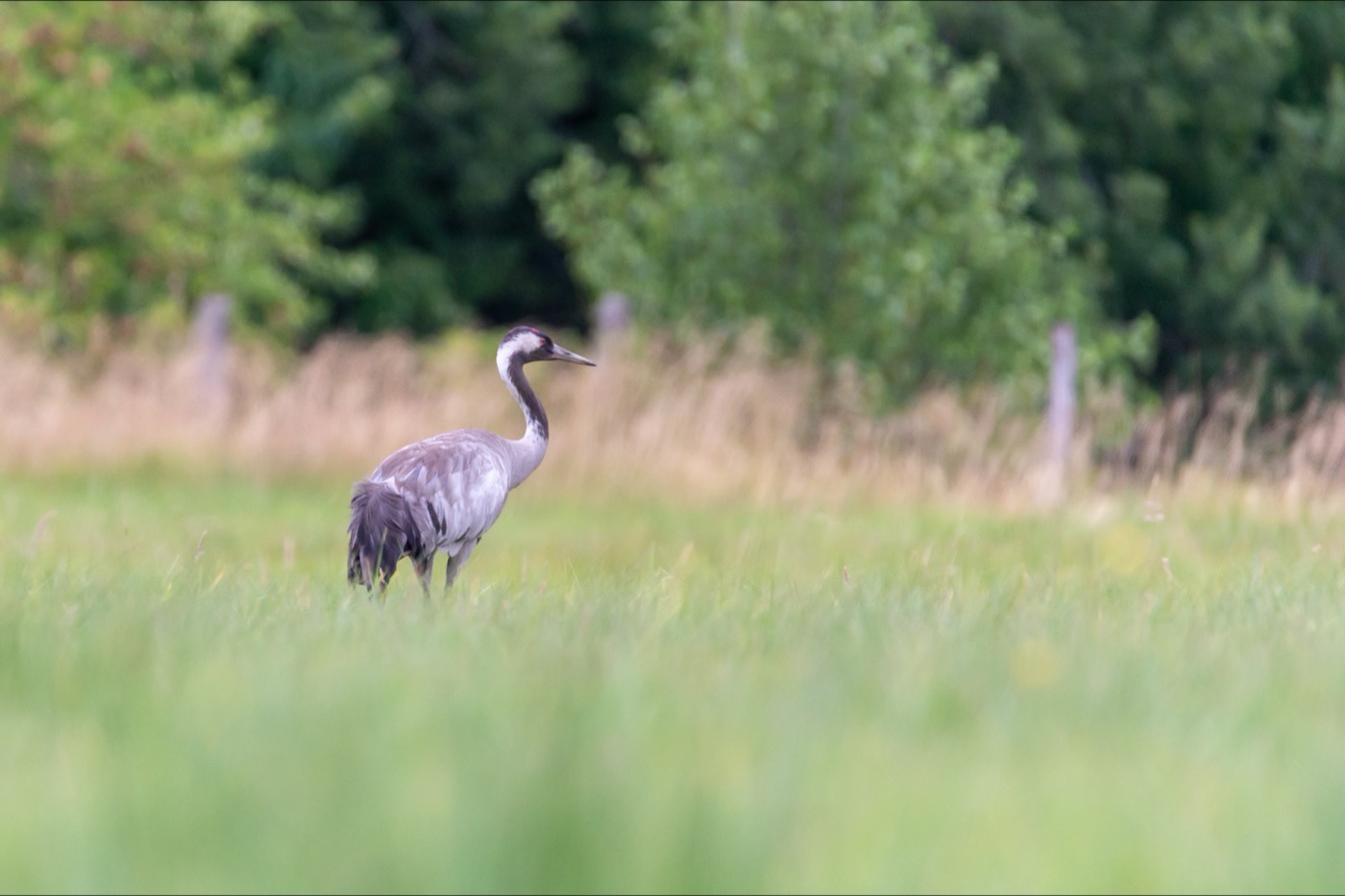
Common crane
The ponds at Linum, an hour north west of Berlin, are the largest inland stopover in Germany. In October tens of thousands of cranes stand there, and from the hides at the edge you watch them drop in at dusk.
 all year
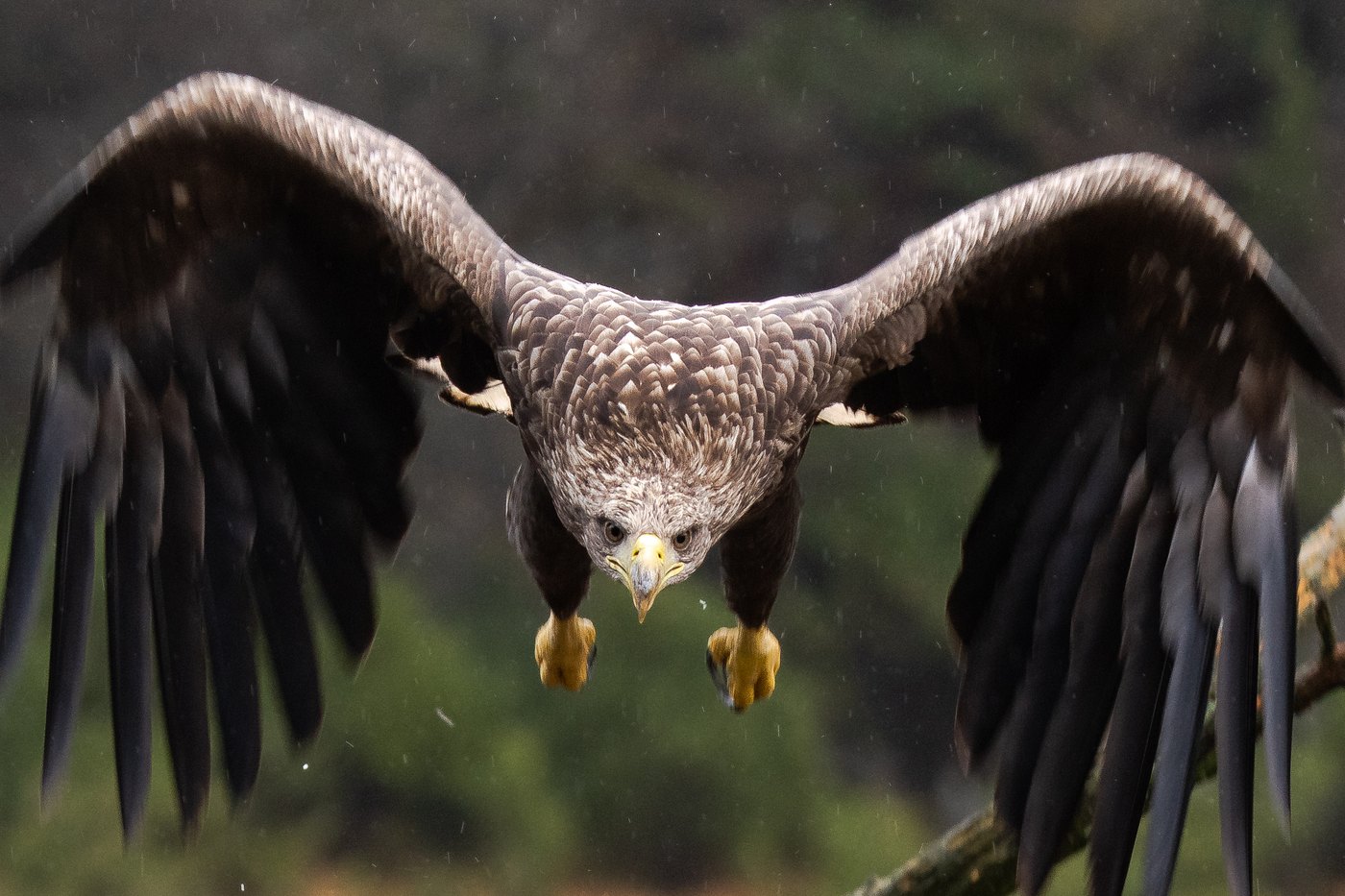
White-tailed eagle
With a wingspan of over two metres it is hard to mistake. The north east holds the largest population in Germany, and over the lakes and lagoons one is usually in the air once you have watched for a while.
 all year
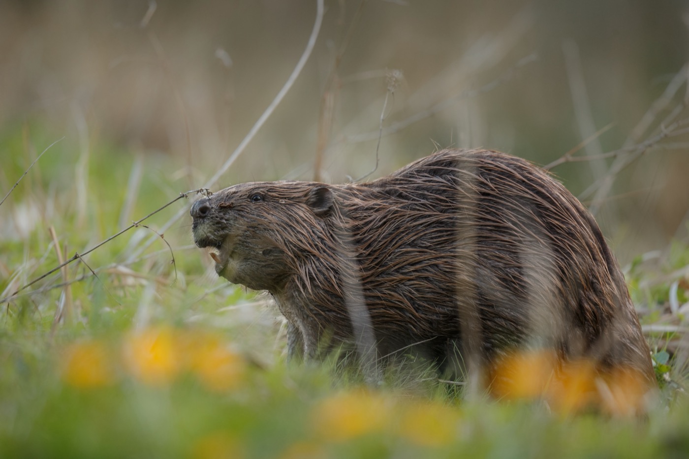
Eurasian beaver
The beaver itself is rarely seen, its work everywhere: gnawed trunks at the bank, dams across the stream, flooded ground full of dead wood. Sit quietly by the water at dusk and you hear it before you see it.
 all year
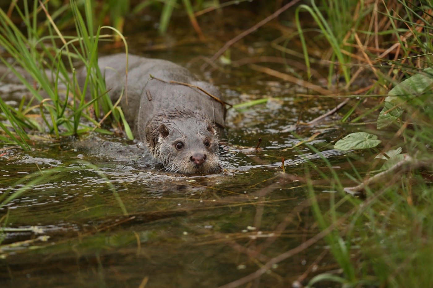
Otter
Brandenburg is one of the few states where the otter never disappeared completely. It hunts at night and leaves slides in the mud at shallow banks, which is how you know it has been there.
Pictures: Freepik
Dark skies
Places certified by DarkSky International.
Naturpark Westhavelland
The first certified dark sky place in Germany, since 2014. An hour west of Berlin by car and still dark enough for the Milky Way to stand from horizon to horizon.
Kyritz-Ruppiner Heide
Certified in late 2025. The former military training ground is wide open heath with no village and no street lamp, which is exactly what makes it so dark at night.
Getting there
- 1 h 15 minBerlin
- 1 h 45 minDresden
- 2 h 30 minLeipzig
- 5 h 00 minHamburg
- 5 h 30 minHannover
- 8 h 15 minMünchen
Good to know
Cable ferry between Caputh and Geltow
The Tussy II crosses the Havel under its own engine, guided by three steel cables, and links Caputh with Geltow. It sails daily from early morning until evening. Service stops in storms or fog, and also when the water runs very high or very low.
Mining lakes and their shores
In Lusatia, a large share of the mining lakes are open and unusually clear. Only areas marked with yellow buoys may be used. Some shores stay closed because the ground can still slip. Those barriers are not a formality.
Fire in the pine forest
Brandenburg is pine country, with sandy soil and little rain. Fire and smoking are prohibited in the forest and within fifty metres of it all year round, whatever the warning level. Grilling belongs on the designated sites.
Weekends belong to Berlin
From the city you are at the water in an hour, and from Friday lunchtime the sites around it are taken. Midweek you stand almost alone.
Cranes and sea eagles
Sea eagles and cranes breed in the Uckermark and the Oder valley. A protection radius of three hundred metres surrounds the nests, from January for the sea eagle and until the end of June for the crane.
Channels in the Spreewald
The waterways are transport routes, not bathing places. In a canoe you keep right and make room for the punts. Not every rental operator takes dogs. Where they are allowed, they stay in the boat for the whole trip.
Protected landscapes
- National park
- Unteres Odertal
- Biosphere reserve
- Flusslandschaft Elbe - BrandenburgSchorfheide-ChorinSpreewald
- Nature park
- Dahme-HeideseenHoher FlämingNiederlausitzer LandrückenSchlaubetalStechlin-Ruppiner LandUckermärkische SeenWesthavelland
Names and boundaries: © OpenStreetMap contributors.
About this region
The sites nearly always sit on water: in the Spreewald right on a channel, in the Uckermark on the lakes, in Lusatia along the new shores. A canoe or a boat is standard equipment here, and many hosts lend both.
Because Berlin is so close, weekends are full and weekdays are empty. For quiet, head into the Uckermark or the north east.
