Camping in Lower Saxony
Lower Saxony reaches from the East Frisian islands to the Harz mountains. In between lie the Wadden Sea as a World Heritage site, the Lüneburg Heath, the Weser uplands and the Teutoburg Forest. Coast and low mountains in one state, with a lot of flat green in between.
The year in this region
October: Zugvogeltage between Dollart and Elbe
In mid October the Nationalpark Niedersächsisches Wattenmeer holds the Zugvogeltage, with more than 350 dates on the mainland and on the islands from Borkum to Wangerooge. The numbers peak now. A red knot sets off here and flies some 4,000 kilometres without a break to West Africa.
In the middle of the month the sun rises at 7:48 AM and sets at 6:30 PM. That leaves 10 hours and 42 minutes of daylight.
What nature does this month
- Apple picking starts around October 3 (usually between September 24 and October 12)
- Beech turns to autumn colours around October 18 (usually between October 10 and October 24)
- Oak turns to autumn colours around October 23 (usually between October 14 and October 30)
Water and air: Open-Meteo, measured averages. How busy: share of school holidays 2027 across all sixteen federal states. Nature dates: German Weather Service, phenological observations 2014 to 2026 at 908 stations in the region, typical day.
Tours in this region
Marked tours that fit into a day from a site, and one multi day tour per kind.
- Hiking
Heidschnuckenweg
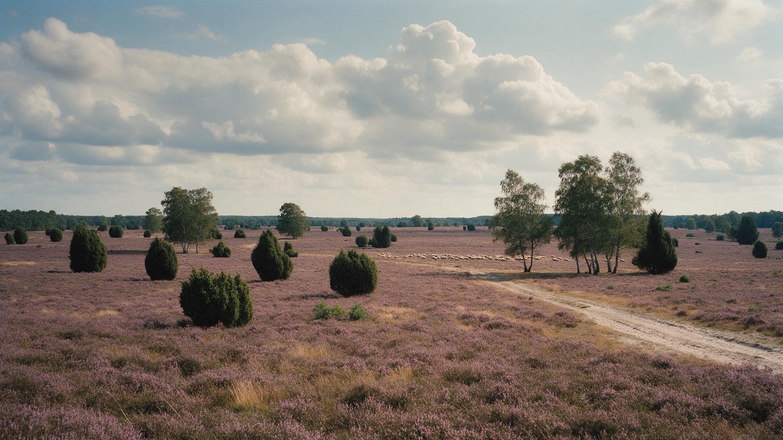
The trail links the open heaths of the Lüneburg Heath from Hamburg to Celle, mostly on soft sandy ground. In August the heather blooms and turns whole slopes purple; in spring the junipers stand alone in the open. Along the way you meet the moorland sheep the trail is named after, shepherd included.
223 kmMulti day tour
- Hiking
Harzer-Hexen-Stieg
From Osterode straight across the Harz to Thale, with the Brocken at the halfway point. The path follows in places the ditches with which the old mines steered their water three hundred years ago, and it ends down in the Bode gorge. The variant by Rübeland passes limestone caves.
153.8 kmMulti day tour
- Hiking
Weserbergland-Weg
From Hann. Münden to Porta Westfalica along the ridges above the Weser, with beech forest and open views alternating the whole way. The limestone cliffs beside the path are a good forty metres high and a breeding site for eagle owls. Below lie the half timbered towns where the Weser Renaissance style was invented.
225.3 kmMulti day tour
- Cycling
Weser-Radweg
One of the best liked cycle routes in Germany, from Hann. Münden to the North Sea, almost without a climb and signed the whole way. The Weser uplands at the start are the most varied part; after that the country opens out. From Bremen on you ride through marshland with dykes and wide pastures.
523.4 kmMulti day tour
- Cycling
EmsRadweg
From the source in the Senne to the North Sea at Emden, through one of the flattest regions in Germany. The route passes bogs, crosses hedgebank landscape and finally runs over the dykes of the Ems estuary. For almost the whole route, wind is the only hill you will meet.
380.3 kmMulti day tour
- Cycling
Aller-Radweg
The Aller runs slowly through fen and floodplain forest, and the cycle route follows it mostly at a distance of a few hundred metres to a few kilometres. In places it runs right along the bank. Between Celle and Verden lie wide meadows where storks and lapwings stand in spring. The route is short enough for a long weekend.
255.1 kmMulti day tour
- Canoeing
Wasserwanderweg Aller
A calm river, free of weirs over long stretches, with a few weirs in between offering a boat slide or portage point, and below Celle four locks, good for anyone spending several days in a boat for the first time. The banks are wooded, meadow lies behind them, and in many places you can simply pull ashore. Kingfishers occur in the Aller lowlands, and with some luck you can spot one.
165.5 kmMulti day tour
Tours: © OpenStreetMap contributors, ODbL. Lengths computed from the mapped course, as of September 12, 2026.
Animals you can meet here
 all year
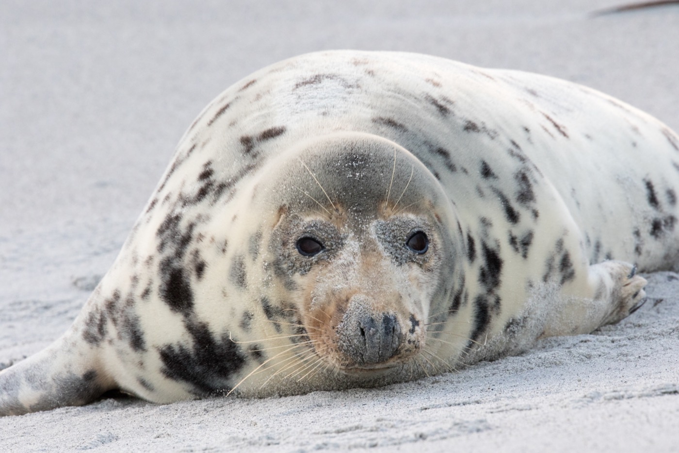
Harbour seal
Around 24,000 harbour seals are counted in the Wadden Sea, with the total population estimated at about 35,000. At low tide they lie out on the sandbanks, and boats leave many harbours along the coast and islands to pass the sandbanks at a distance.
 September to October
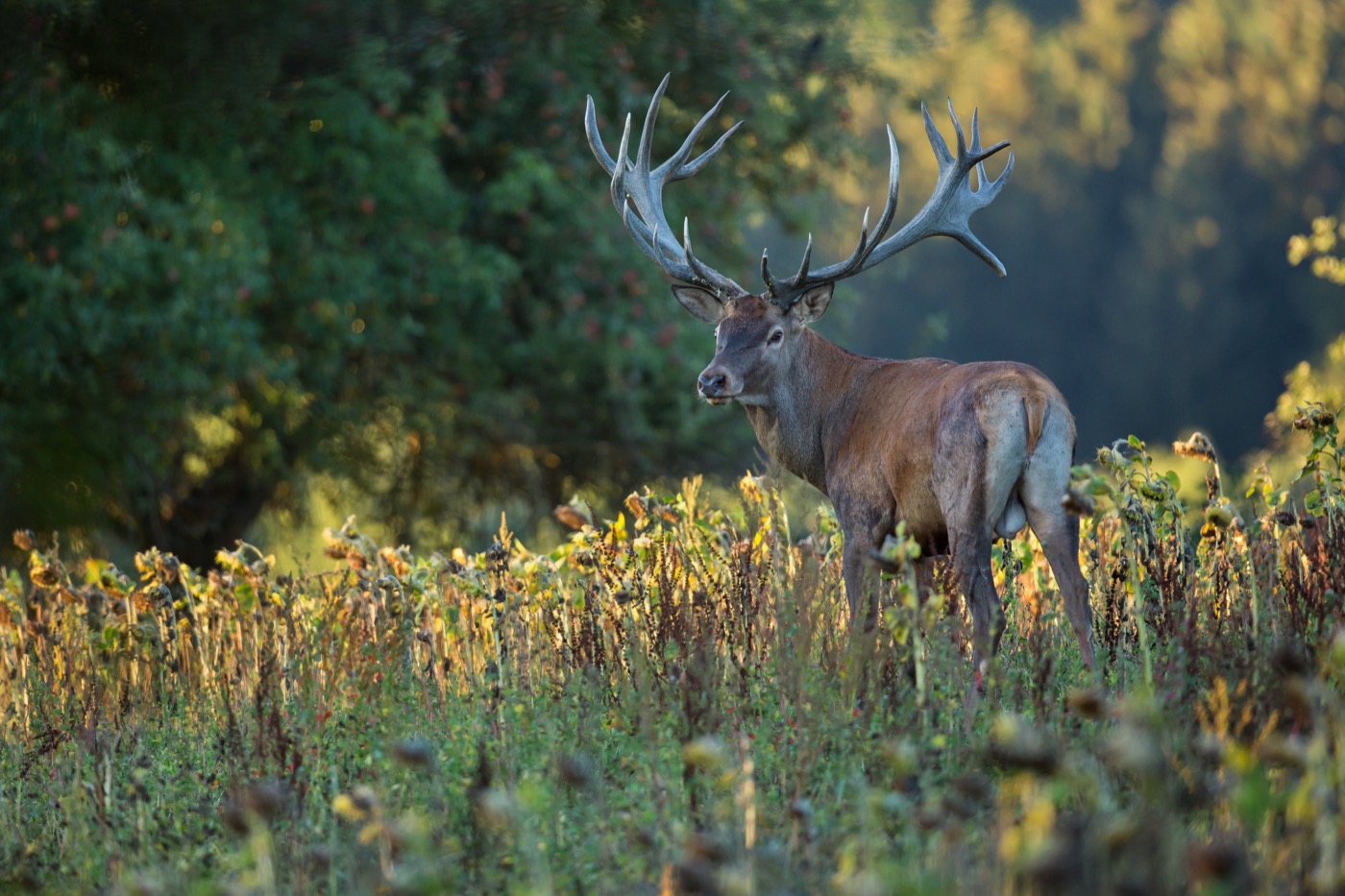
Red deer
The rut starts in September, and then the stags roar mainly early in the morning, in the evening and at night. You hear them from far away, and many forests have hides at the meadows where you may watch.
 all year
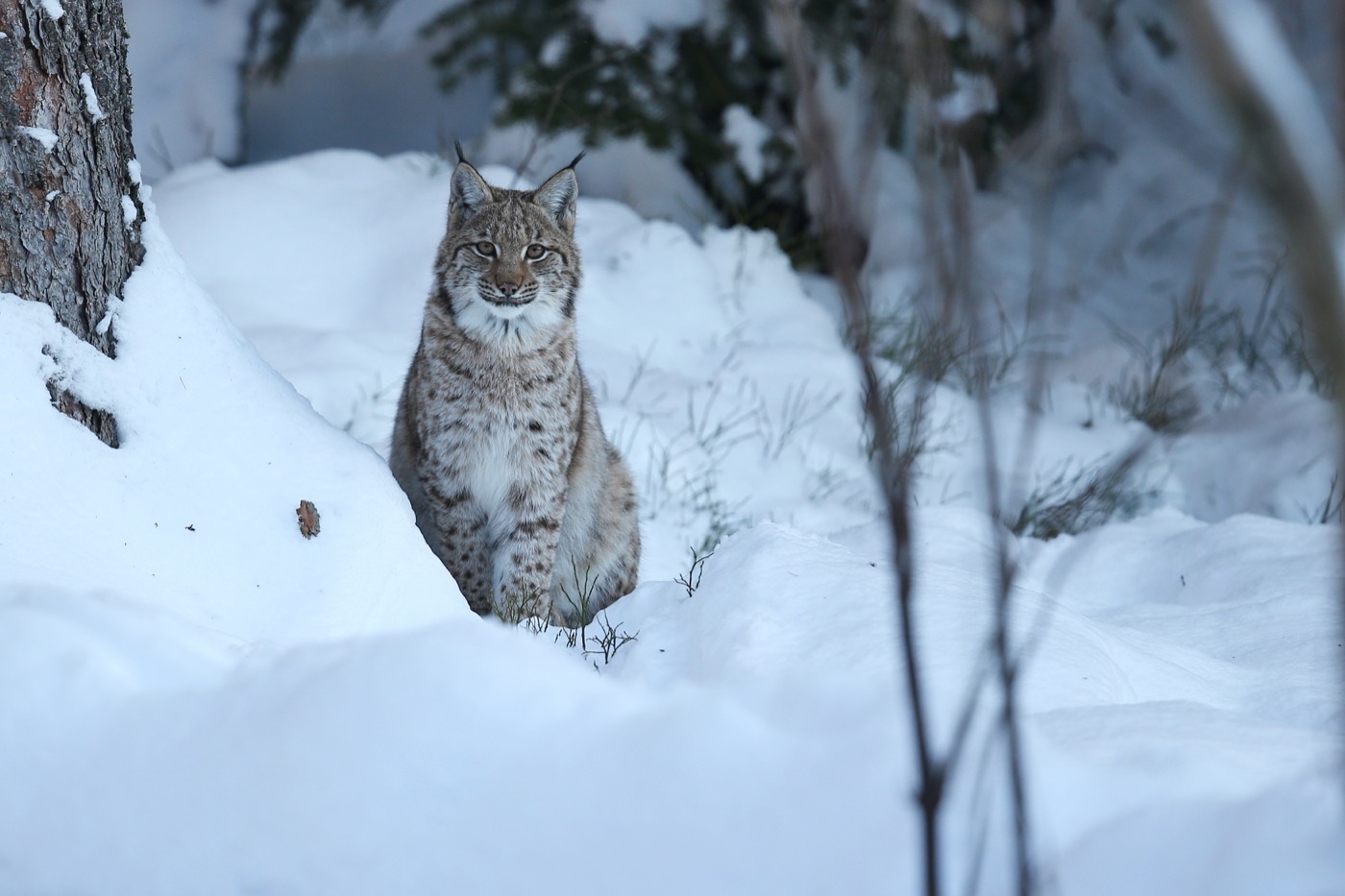
Eurasian lynx
The lynx had been wiped out in Germany and came back through releases, in the Harz, in the Bavarian Forest and since 2016 in the Palatinate Forest. Seeing one in the wild is luck; finding its tracks in snow is not unusual.
 all year
Heidschnucke sheep
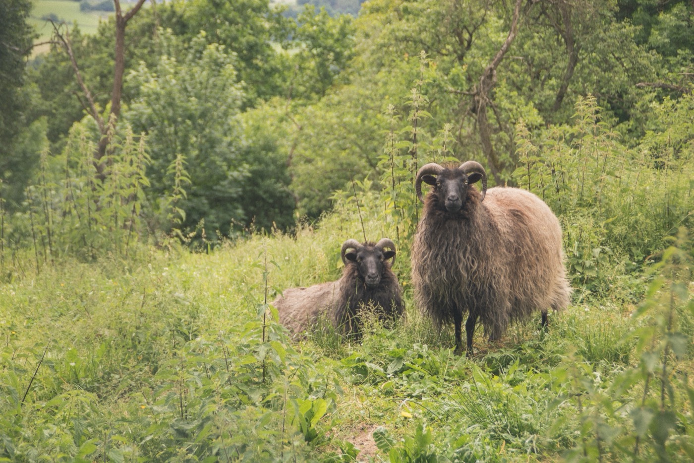
The grey Heidschnucke keeps the heath open: without the flocks it would turn back into forest within a few decades. The shepherd moves several hundred animals across the ground, and the route for the day is posted at the fold in the morning.
Pictures: Freepik
Dark skies
Places certified by DarkSky International.
Spiekeroog
On the car free island there are no headlights and little street lighting. Walk over the dyke into the dunes in the evening and you have the sea on one side and the stars on the other.
Getting there
- 1 h 10 minHamburg
- 1 h 25 minBremen
- 1 h 25 minHannover
- 4 h 15 minBerlin
- 5 h 30 minKöln
- 6 h 00 minFrankfurt am Main
Good to know
Ferries follow the tide
Juist, Baltrum, Spiekeroog and Wangerooge sit in the tidal flats and can only be reached when the water is high enough. Departure times shift by about fifty minutes each day. Norderney, Langeoog and Borkum run on fixed schedules.
Car free islands
Juist, Langeoog, Spiekeroog, Baltrum and Wangerooge take no cars. The motorhome stays in a long-term car park on the mainland and the ferry takes passengers and luggage. To Borkum and Norderney the car comes on board too. In the town centres driving is banned in season, and parking is on marked areas.
Tides in the Wadden Sea
A mudflat walk starts about two hours before low water and never on a rising tide. Without a licensed guide, stay within sight of the dike. The creeks fill faster than you can walk back.
Breeding season on the coast
From April to the end of July the salt marshes and island areas are closed, and on the heath dogs must be on the lead through the breeding season. Both are checked.
Heath sheep
The heath is kept open by flocks of grey horned sheep. Dogs belong on the lead there, not least because the shepherd's herding dogs keep their flock from anyone who comes close. Leaving the path is not allowed anywhere in the nature reserve.
Fire in the Harz
After the drought years large spruce stands are dead and burn easily. Open fire is banned all year, and in the national park so are barbecues and camping stoves. Outside the national park, barbecuing is allowed only at designated sites; the local forestry office can advise.
Protected landscapes
- National park
- HarzNiedersächsisches WattenmeerRuhezone I/12Ruhezone I/51
- Nature park
- Elm-LappwaldHümmlingLüneburger HeideMündenSüdheideWendland.ElbeWeserbergland
Names and boundaries: © OpenStreetMap contributors.
About this region
Between the dyke on the coast and the Wurmberg in the Harz there are nearly a thousand metres of altitude and about three hours by car. The weather follows suit: the coast is almost always windy, and the Harz gets the most rain.
The islands are car free apart from Borkum and Norderney, so the motorhome stays on the mainland. Inland the sites are further apart, which is why there is still room in August.
