Camping in North Rhine-Westphalia
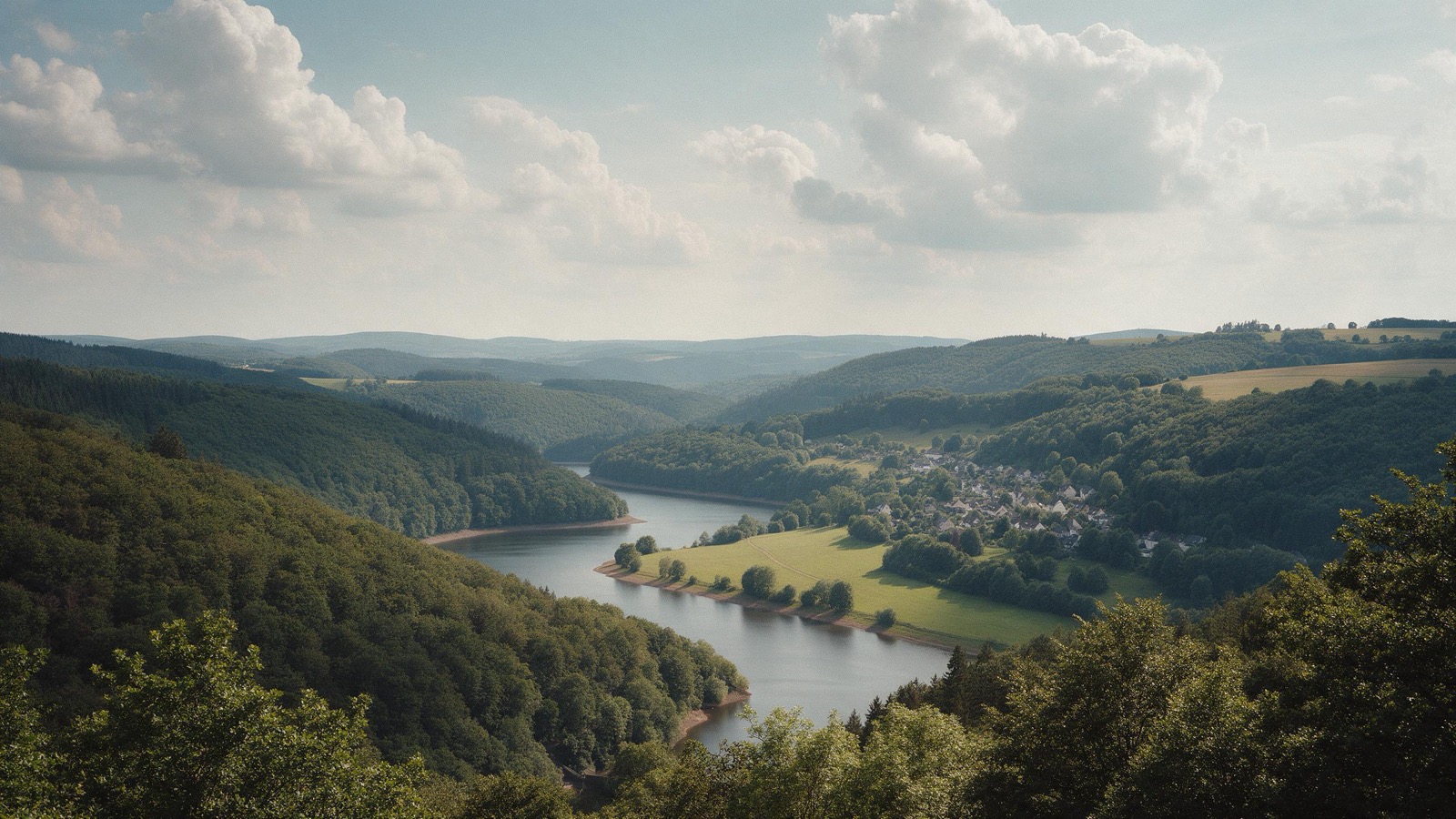
North Rhine-Westphalia is the most densely populated of Germany's larger states and still holds large quiet areas. The Eifel with its national park and a night sky designated a dark sky reserve, the Sauerland with its reservoirs, the flat Münsterland with its avenues, and in the north the Teutoburg Forest.
The year in this region
October: Beech leaves on the Rothaarsteig
In October the beech leaves change colour. First pale yellow, then orange-red. The Rothaarsteig runs a good 157 kilometres from Brilon to Dillenburg along the ridge of the Rothaargebirge. On the way lie the sources of the Ruhr, Eder, Sieg and Lahn. The highest point is the Langenberg at 843 metres.
In the middle of the month the sun rises at 7:53 AM and sets at 6:38 PM. That leaves 10 hours and 45 minutes of daylight.
What nature does this month
- Beech turns to autumn colours around October 16 (usually between October 7 and October 22)
- Oak turns to autumn colours around October 23 (usually between October 14 and November 1)
Water and air: Open-Meteo, measured averages. How busy: share of school holidays 2027 across all sixteen federal states. Nature dates: German Weather Service, phenological observations 2014 to 2026 at 711 stations in the region, typical day.
Tours in this region
Marked tours that fit into a day from a site, and one multi day tour per kind.
- Hiking
Rothaarsteig
The trail follows the ridge of the Rothaar hills from Brilon to Dillenburg, mostly on forest tracks and natural paths. The Lahn, the Eder and the Sieg all rise here within a few kilometres of each other. High heath and old beeches stand on top, and beside the path lies the Wisent-Wildnis, where a herd of European bison lives in a large forest enclosure.
152.8 kmMulti day tour
- Hiking
Eifelsteig
From Aachen to Trier straight across the Eifel, changing constantly: bogs in the High Fens, cliffs around Gerolstein, maars holding round, deep blue water. The maars are craters of long dormant volcanoes that filled with groundwater. The Eifel national park at the start is a dark sky reserve; at night you see the Milky Way.
315.6 kmMulti day tour
- Hiking
Hermannsweg
The trail follows the Teutoburg Forest ridge for over a hundred kilometres, staying on the crest for long stretches but repeatedly dropping into valleys and passes along the way. Along the way stand the Externsteine, a row of sandstone pillars up to forty metres high rising vertically out of the wood. Mostly beech forest, with pine and spruce on the sandy stretches, at its best in autumn.
166.1 kmMulti day tour
- Cycling
Ruhrtalradweg
From the source in the Sauerland to the Rhine at Duisburg, with the Ruhr area in the middle, greener along this route than its reputation suggests. The way mostly follows the riverbank and runs through water meadows, past reservoirs and old collieries. Easy going almost throughout, because it mostly runs downhill.
235.6 kmMulti day tour
- Cycling
Römer-Lippe-Route
The route starts at the Hermann Monument near Detmold, follows the Lippe from Bad Lippspringe onward and with it the line along which the Romans built their camps, and ends in Xanten on the Rhine. The Lippe floodplain has been restored in places: the river may meander again, and lapwings and Eurasian curlews breed on the meadows. Twelve themed loops branch off the main route, the longest of them thirty nine kilometres.
303 kmMulti day tour
- Cycling
100 Schlösser Route
A loop through the Münsterland, mostly flat, with occasional climbs in the Baumberge hills and the Tecklenburg area, on narrow farm lanes between hedges and pasture. The moated castles sit in their water all along the route, many of them ringed by old trees. Four sections can be ridden on their own.
962.3 kmMulti day tour
- Canoeing
Wupper
The Wupper has cut itself a narrow, wooded valley, and you paddle close under steep slopes. There are lively sections with small rapids, not hard but not dull either. Water quality has improved markedly since the nineties, and fish live in the river again today, up to salmon.
40 km
Tours: © OpenStreetMap contributors, ODbL. Lengths computed from the mapped course, as of September 12, 2026.
Animals you can meet here
 September to October
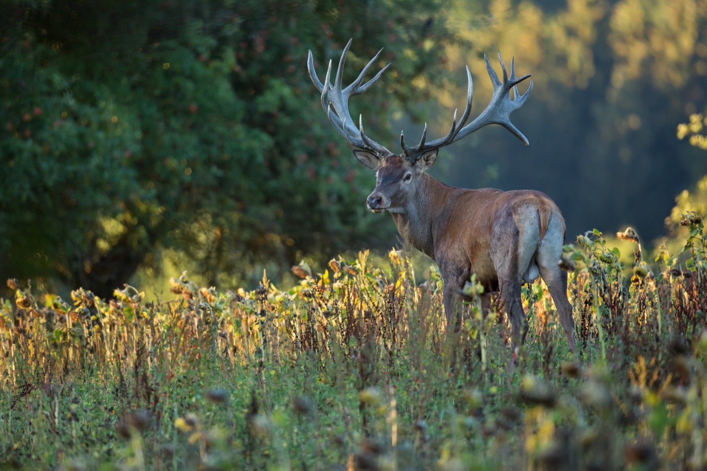
Red deer
The rut starts in September, and then the stags roar mainly early in the morning, in the evening and at night. You hear them from far away, and many forests have hides at the meadows where you may watch.
 all year
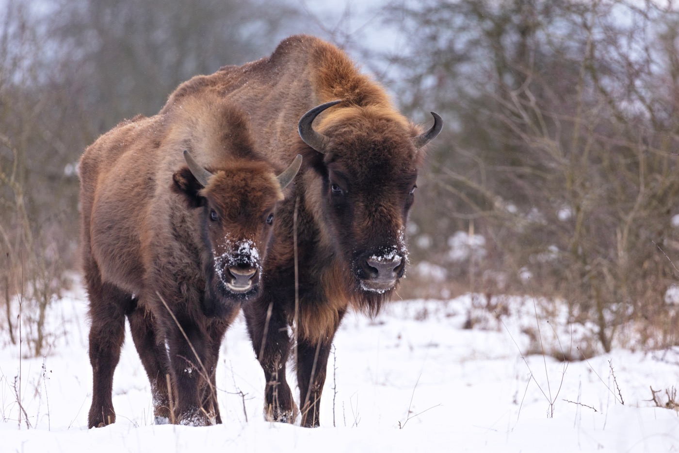
European bison
The heaviest land animal in Europe weighs up to a tonne. A herd lives beside the Rothaarsteig in the Wisent-Wildnis, a large forest enclosure with a path running through it.
 all year
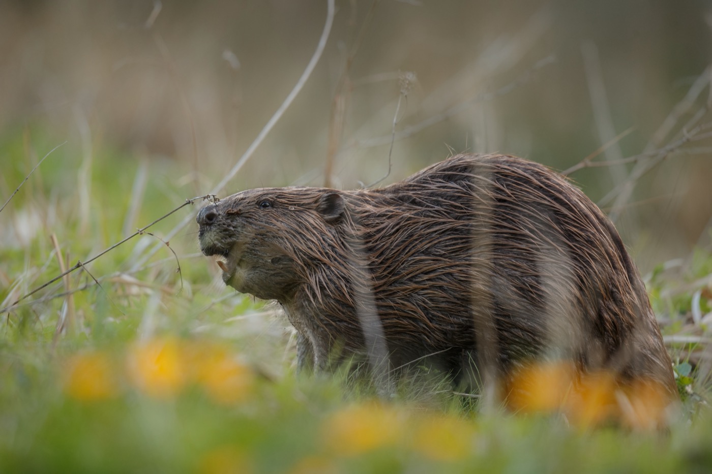
Eurasian beaver
The beaver itself is rarely seen, its work everywhere: gnawed trunks at the bank, dams across the stream, flooded ground full of dead wood. Sit quietly by the water at dusk and you hear it before you see it.
 February to June
Eagle owl
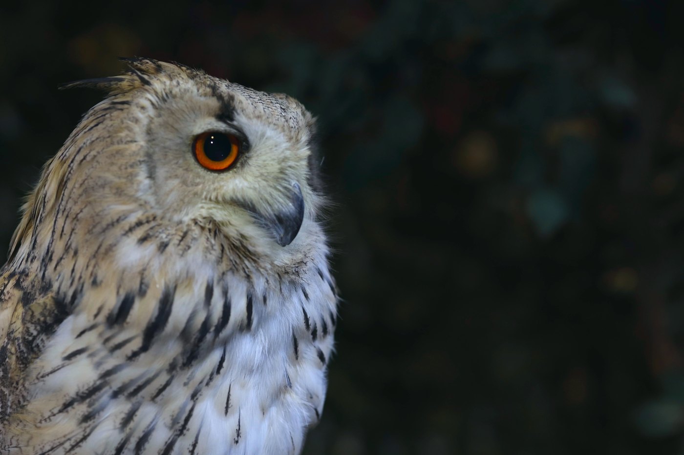
The largest owl in Europe nests on rock ledges and in old quarries. From February the male calls at dusk, a deep soft hoot that carries across the whole valley.
Pictures: Freepik
Dark skies
Places certified by DarkSky International.
Nationalpark Eifel
The only dark sky place in the densely settled west. There are guided nights at the Vogelsang observatory, but from the SternenBlicke viewpoints around the national park you also see thousands of stars on a clear night.
Getting there
- 1 h 15 minDortmund
- 1 h 45 minKöln
- 1 h 45 minDüsseldorf
- 2 h 00 minKassel
- 3 h 30 minHannover
- 3 h 35 minFrankfurt am Main
Good to know
Rhine ferries instead of bridges
Between the big bridges, small car ferries cross the Rhine, for example from Langst to Kaiserswerth or from Zons to Urdenbach. There is no fixed timetable. They shuttle on demand and cast off as soon as someone waits on the bank. From Monday to Friday they start earlier than at weekends and on holidays. In midwinter the Kaiserswerth ferry takes a break.
Wilderness in the Eifel national park
Large parts are left untouched. Because many old trees stand there, the park administration advises against entering the forest during storms, snow and thunderstorms; where dead spruce trees stand, signs mark the affected sections of path. Staying on the marked paths is required throughout the park; on the Dreiborn plateau, a military training ground until 2005, that also has safety reasons.
Reservoirs are drinking water
Swimming is banned at many Sauerland reservoirs because they supply drinking water. Where it is allowed, it says so explicitly. The Möhnesee and the Biggesee have marked bathing areas.
Fire in the forest
Open fire is banned all year, including at barbecue huts outside the permitted hours. After the drought years many spruce stands are dead and burn easily.
Leads in protected areas
Nature reserves in the Eifel and the Rothaar mountains require a lead, the national park all year; elsewhere the dog goes on the lead as soon as it leaves the path. Wildcats and red deer react badly to loose dogs.
Weekends are full
The Sauerland begins right behind the Ruhr, and it shows. From Friday lunchtime to Sunday the sites are taken; midweek there is room almost everywhere.
Protected landscapes
- National park
- De MaasduinenDe MeinwegEifel
Names and boundaries: © OpenStreetMap contributors.
About this region
More than a dozen dams hold water in the Sauerland, and at the bigger ones the sites are right on the shore. The Eifel and the Münsterland are flatter, and there the cycle routes often run past the gate.
From the Ruhr you are out in the open within an hour, and that shapes the sites. They fill up at weekends; midweek there is room almost everywhere.
