Camping in Saxony-Anhalt
Saxony-Anhalt runs from the Harz mountains up to the Altmark, and between them the Elbe passes through one of the largest floodplain landscapes in central Europe. In the south, along the Saale and the Unstrut, lies one of the northernmost wine regions in Germany. The north is flat and thinly populated.
The year in this region
October: Young broadleaf under dead spruce
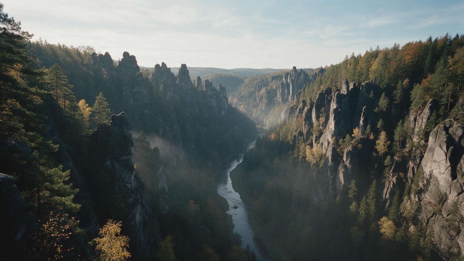
The Nationalpark Harz covers 24,700 hectares, 89 square kilometers of them in Sachsen-Anhalt. Spruce stands on 82 percent of the area, beech on 12. Where the bark beetle has cleared the old spruce plantations, young broadleaf trees are coming up. Below 750 meters the slope is theirs anyway. In October the color shows how far along they are.
In the middle of the month the sun rises at 7:37 AM and sets at 6:21 PM. That leaves 10 hours and 44 minutes of daylight.
What nature does this month
- Apple picking starts around October 1 (usually between September 20 and October 10)
- Beech turns to autumn colours around October 20 (usually between October 13 and October 26)
- Oak turns to autumn colours around October 22 (usually between October 13 and October 28)
Water and air: Open-Meteo, measured averages. How busy: share of school holidays 2027 across all sixteen federal states. Nature dates: German Weather Service, phenological observations 2014 to 2026 at 332 stations in the region, typical day.
Tours in this region
Marked tours that fit into a day from a site, and one multi day tour per kind.
- Hiking
Harzer-Hexen-Stieg
From Osterode straight across the Harz to Thale, with the Brocken at the halfway point. The path follows in places the ditches with which the old mines steered their water three hundred years ago, and it ends down in the Bode gorge. The variant by Rübeland passes limestone caves.
97 kmMulti day tour
- Hiking
Selketal - Stieg
The quiet answer to the Hexenstieg: instead of the Brocken it runs through the Selke valley, which is narrower, warmer and far less busy. The path follows the river under beeches, past castle ruins and old ironworks. The narrow gauge railway runs alongside and brings you back to the start.
76.3 kmMulti day tour
- Hiking
Karstwanderweg
The trail runs along the southern edge of the Harz over gypsum karst, and the rock decides everything: the ground gives way, round sinkholes form, many of them filled with water. Between them, dry grassland with orchids grows on shallow soil over gypsum and dolomite. Caves and karst springs lie right beside the path.
265.7 kmMulti day tour
- Cycling
Elberadweg
After years in second place once again the most popular long distance cycle route in Germany, and the reason is the flat course: from the Czech border to the North Sea there are hardly any climbs worth noting. It follows the river through the Elbe sandstone hills, past Dresden and Meissen, then out into the open floodplain. Ferries stand in for the missing bridges.
812.9 kmMulti day tour
- Cycling
Saaleradweg
From the source in the Fichtel mountains to where the river joins the Elbe, straight through Thuringia and Saxony-Anhalt. The route moves from a narrow slate valley over the reservoirs into the open Unstrut country with its vine terraces. It is flat only from Saalfeld on; before that it runs noticeably downhill.
419 kmMulti day tour
- Cycling
Saaleradweg
Section 9a - Von Bernburg (Saale) zur Saalemündung
The last stage of the Saale, from Bernburg to where it joins the Elbe, short and flat. The river turns wide and quiet here, the banks are open, and the castles of the old principalities stand in the background. A comfortable half day to finish on.
30.4 km37 m ascent
- Canoeing
Saale
The Saale is one of the first five rivers in Germany that the German Canoe Federation and the German Tourism Association have certified as canoe-friendly. Public places to get in and out line the whole stretch. It passes vineyards, castles and the shell-limestone cliffs of the Saale valley. Weirs and portage points are signposted throughout.
88.5 kmMulti day tour
Tours: © OpenStreetMap contributors, ODbL. Lengths computed from the mapped course, as of September 12, 2026.
Animals you can meet here
 all year
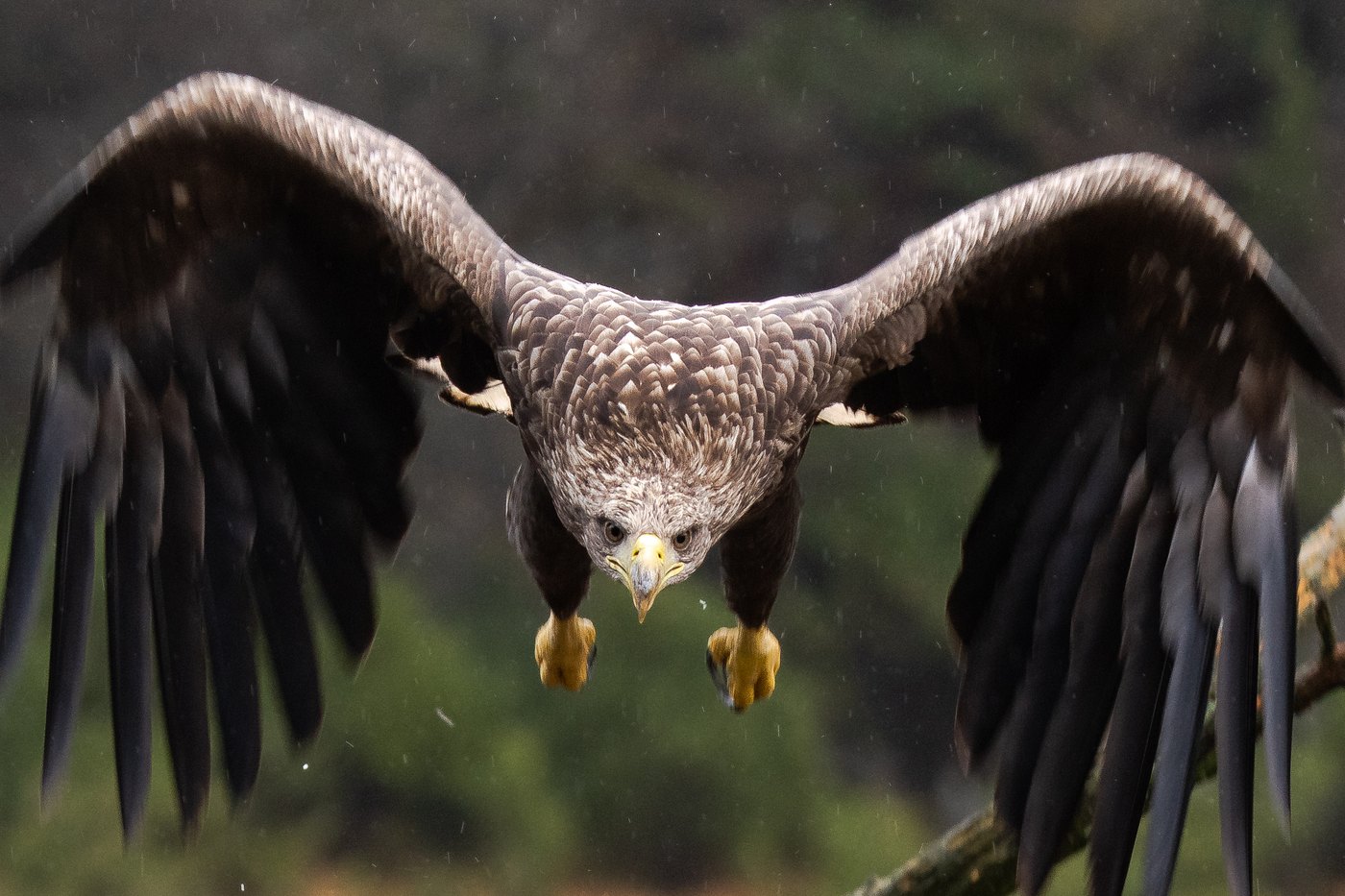
White-tailed eagle
With a wingspan of over two metres it is hard to mistake. The north east holds the largest population in Germany, and over the lakes and lagoons one is usually in the air once you have watched for a while.
 March to August
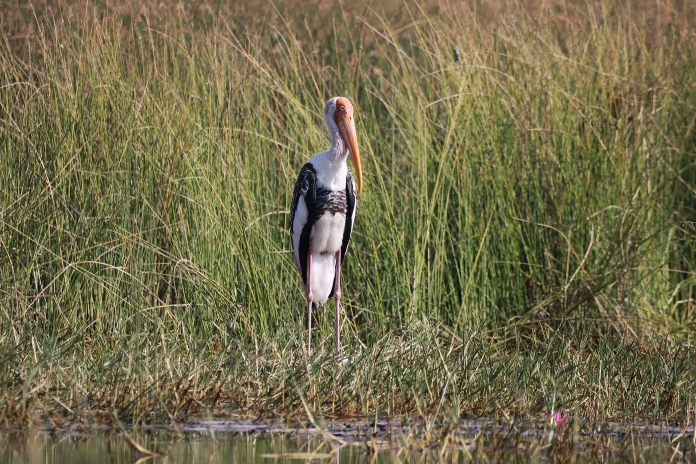
White stork
The storks return from their winter quarters in spring and move back into last year's nest. Where wet meadows border the village the nests sit close together, sometimes a dozen in one place.
 September to October
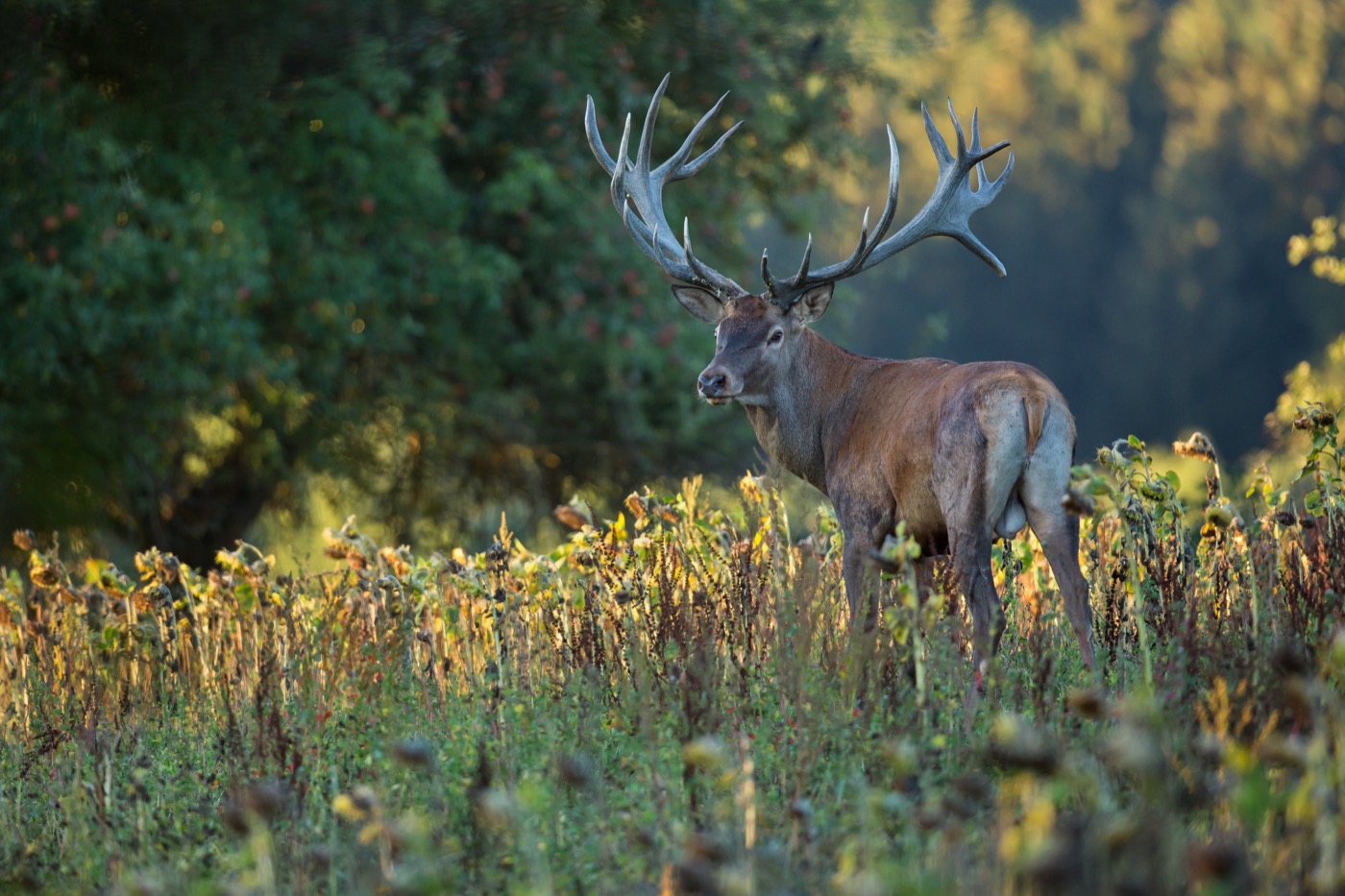
Red deer
The rut starts in September, and then the stags roar mainly early in the morning, in the evening and at night. You hear them from far away, and many forests have hides at the meadows where you may watch.
 all year
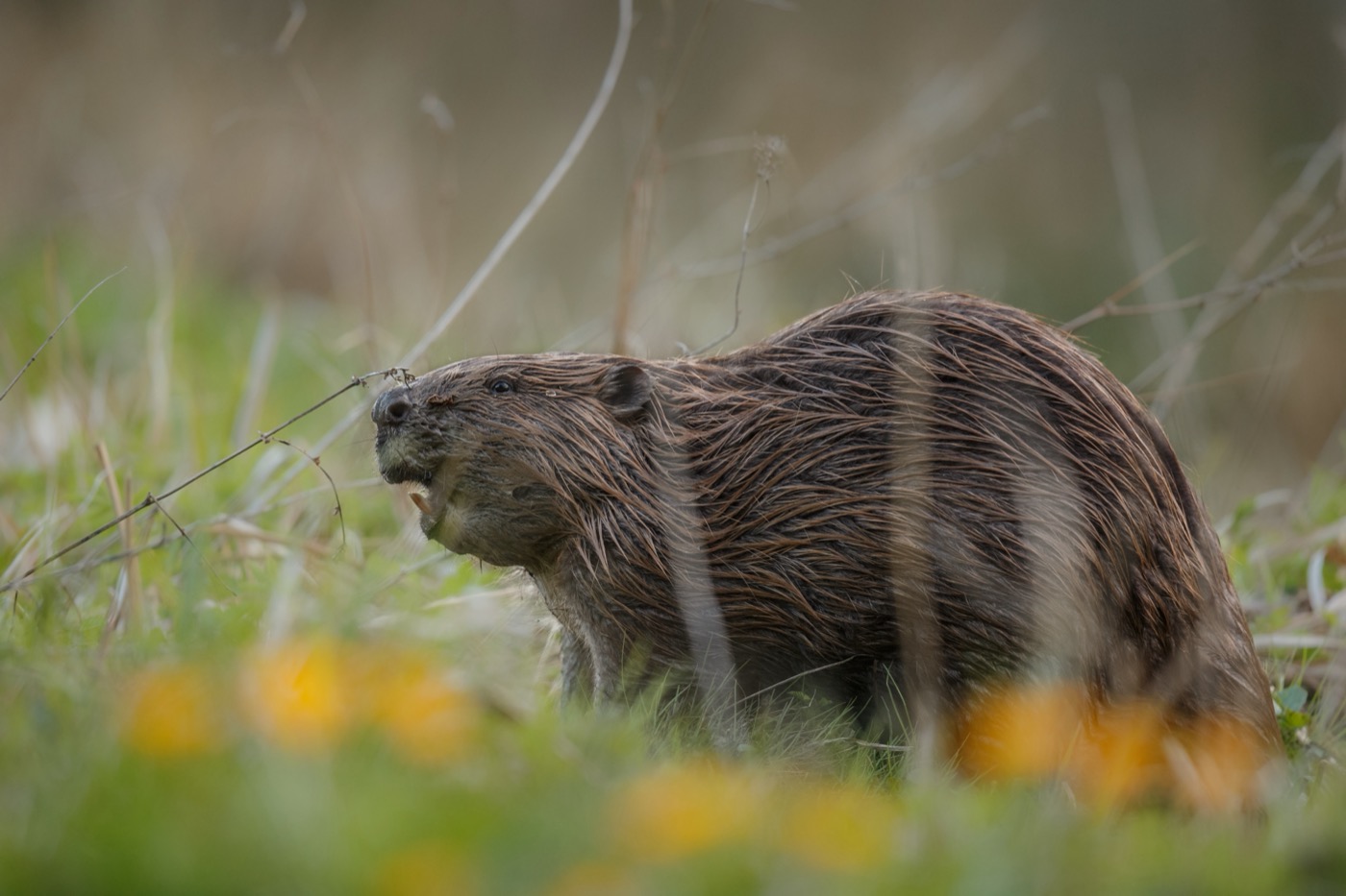
Eurasian beaver
The beaver itself is rarely seen, its work everywhere: gnawed trunks at the bank, dams across the stream, flooded ground full of dead wood. Sit quietly by the water at dusk and you hear it before you see it.
Pictures: Freepik
Getting there
- 1 h 10 minMagdeburg
- 1 h 30 minHannover
- 1 h 50 minLeipzig
- 2 h 30 minBerlin
- 3 h 00 minHamburg
- 3 h 50 minFrankfurt am Main
Good to know
Crossing the Elbe by cable ferry
Between Aken and Steutz a cable ferry takes the place of a bridge. It forms part of the B 187a, moves on the current alone and carries twelve cars to the other bank in about five minutes. In summer it runs later than in winter.
The Elbe rises in spring
Between Dessau and Havelberg the floodplain lies open, and the river takes it back when the snow melts in the low mountain ranges upstream and rain adds to it. Sites in the floodplain are cleared then. If you are heading there in March or April, call ahead.
Dead spruce in the Harz
Bark beetles have killed off large parts of the spruce forest and the trunks are still standing. They come down in wind, and in dry spells the Harz keeps catching fire. A closed path is therefore genuinely closed.
Cranes in the Drömling
The fen on the border with Lower Saxony is a biosphere reserve. Geese, ducks and cranes stop there by the thousand in autumn and come back from February. The hides sit at the edge, and the fen itself stays untrodden.
Military training area in the Altmark
A large army training area lies north of Colbitz. Its barriers and warning signs apply at all times, even when nothing can be heard. Ammunition is still in the ground across the heath.
Sheep on the dykes
Shepherds keep the Elbe dykes grazed short, which holds the soil together. Where a flock is grazing, that stretch of dyke may be closed for a while, and the signposted detour then applies. The signs also warn of the shepherd's dogs, and your own goes on a short lead.
Protected landscapes
- Biosphere reserve
- Karstlandschaft SüdharzFlusslandschaft Elbe - Brandenburg
- Nature park
- Dübener HeideWesthavelland
Names and boundaries: © OpenStreetMap contributors.
About this region
Saxony-Anhalt holds the highest part of the Harz with the Brocken, the Saale-Unstrut wine region, the wide Altmark and the Elbe with its floodplain forests. The Middle Elbe biosphere reserve runs through half the state.
The Harz is the busy corner; everything else is quiet. Anyone looking for open country and empty paths will find both in the Altmark.
