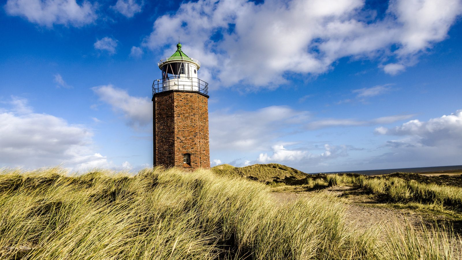
Camping in Schleswig-Holstein
No other German state lies between two seas. To the west the Wadden Sea with its halligen and the North Frisian islands, to the east the fjords and cliff coasts of the Baltic, and inland of that coast the lakes of Holstein Switzerland and the hedgebanks that have divided this country for two hundred and fifty years.
The year in this region
October: The Brodtener Ufer keeps breaking
Between Travemünde and Niendorf a cliff coast runs for four kilometres, up to twenty metres high. It is one of the most active cliffs in Germany and loses half a metre to a metre a year. Most of that goes in the winter half of the year, when onshore wind drives the waves against its foot. So the coast moves inland.
In the middle of the month the sun rises at 7:48 AM and sets at 6:25 PM. That leaves 10 hours and 37 minutes of daylight.
What nature does this month
- Apple picking starts around October 5 (usually between September 25 and October 13)
- Beech turns to autumn colours around October 16 (usually between October 7 and October 25)
- Oak turns to autumn colours around October 22 (usually between October 12 and October 30)
Water and air: Open-Meteo, measured averages. How busy: share of school holidays 2027 across all sixteen federal states. Nature dates: German Weather Service, phenological observations 2014 to 2026 at 346 stations in the region, typical day.
Tours in this region
Marked tours that fit into a day from a site, and one multi day tour per kind.
- Cycling
Ochsenweg
The old trade route along which cattle were driven south from Jutland for centuries. It runs on the geest ridge, the dry middle between the two seas, and therefore stays flat to this day, with gentle hills rather than long climbs. Bronze Age burial mounds stand along the way.
103.8 km
- Cycling
Ostseeküsten-Radweg
The longest coastal route in Germany, from the Danish border to Poland, mostly flat, with occasional climbs on the steep coasts and on Rügen and Usedom. It runs sometimes on the dyke, sometimes through shaded avenues, sometimes right along the promenade. Ferries break the stages, so the timetable is part of the planning.
1,075 kmMulti day tour
- Cycling
Nordseeküstenroute
The German leg of the European North Sea route, mostly along the top of the dyke. The mudflats on one side, the marsh with its dyke grazing sheep on the other. Wind is part of the deal. It mostly comes from westerly directions, which on the west coast means it is more of a crosswind than a tailwind.
963.8 kmMulti day tour
- Cycling
Mönchsweg von Glückstadt nach Puttgarden
The route follows the monks who christianised the north from Bremen, in Holstein above all Vicelin in the twelfth century. It links more than a hundred churches, monasteries and chapels of fieldstone and brick, most of them open and empty, and runs through the mostly flat inland rather than along the coast. It rides pleasantly, with long stretches on quiet farm tracks.
341.3 kmMulti day tour
- Canoeing
Wasserwanderweg Schwentine
The Schwentine links the lakes of Holstein Switzerland with the Kiel fjord, and you paddle long stretches across open water, then from Gut Rastorf through shady floodplain woods. The water runs calmly; the current helps without pushing. Several mills require a portage, and you land at the marked places.
53.9 km
- Canoeing
Wasserwanderweg Untereider
The lower Eider is wide and slow, and above the Nordfeld barrage there are no tides. It paddles equally well in both directions, the day's distance is set by the wind. The banks are flat and open, with reeds, dykes and a great deal of sky. Seals appear only below the barrage, in the tidal Eider.
76.9 kmMulti day tour
Tours: © OpenStreetMap contributors, ODbL. Lengths computed from the mapped course, as of September 12, 2026.
Animals you can meet here
 November to January
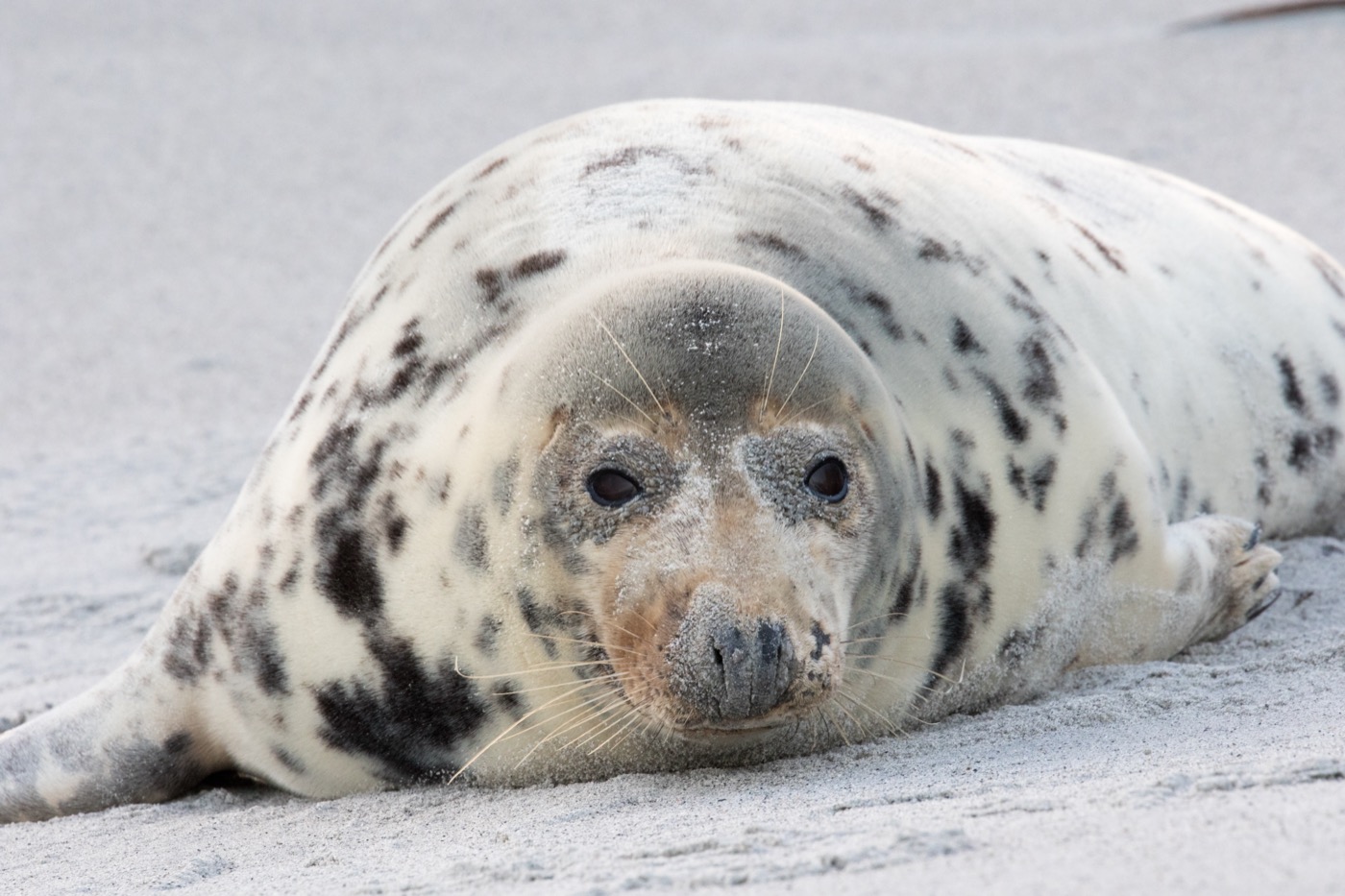
Grey seal
The dune island off Helgoland holds the largest grey seal colony in Germany. From November to mid January several hundred pups are born there, white and woolly, right beside the roped off path.
 all year
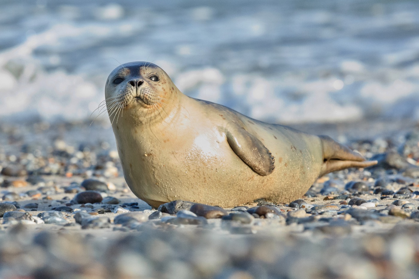
Harbour seal
Around 24,000 harbour seals are counted in the Wadden Sea, with the total population estimated at about 35,000. At low tide they lie out on the sandbanks, and boats leave many harbours along the coast and islands to pass the sandbanks at a distance.
 all year
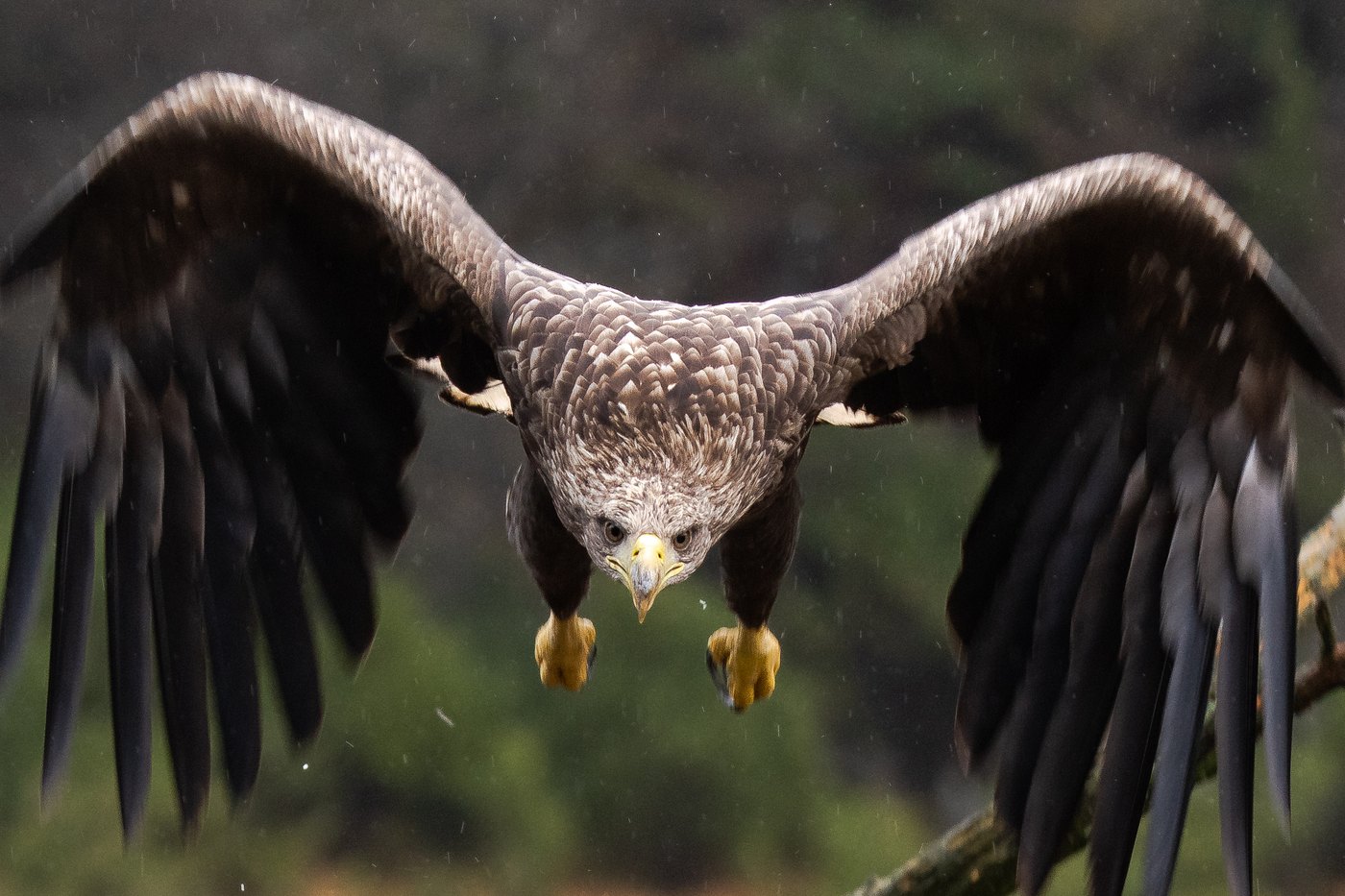
White-tailed eagle
With a wingspan of over two metres it is hard to mistake. The north east holds the largest population in Germany, and over the lakes and lagoons one is usually in the air once you have watched for a while.
 March to August
White stork
The storks return from their winter quarters in spring and move back into last year's nest. Where wet meadows border the village the nests sit close together, sometimes a dozen in one place.
Pictures: Freepik
Dark skies
Places certified by DarkSky International.
Pellworm
The marsh island is flat as a table, so the view reaches the horizon in every direction. Constellations that stay behind hills or houses elsewhere stand clear here.
Getting there
- 1 h 45 minHamburg
- 0 h 30 minKiel
- 0 h 45 minLübeck
- 3 h 00 minBremen
- 4 h 00 minHannover
- 5 h 30 minBerlin
Good to know
Biike fires on 21 February
On 21 February more than sixty Biike fires burn in Nordfriesland, on Sylt, Amrum and Föhr as well as on the Halligen and the mainland. Since 2014 the custom has been listed as intangible cultural heritage. Kale is eaten afterwards.
Two seas, two sets of rules
The Baltic has almost no tide, and in high summer the water is warmest in the shallow bays. On the North Sea the tide table runs your day: mudflat walks start on a falling tide and never on a rising one. How much lead time you need before low water depends on the route.
Dogs on the beach
Every municipality sets its own rules. On many Baltic beaches dogs are only allowed on the general stretches from 1 November, before that only on marked dog beaches. In the national park a lead is required.
Breeding season on both coasts
Zone 1 and the marked breeding and resting areas are closed all year, signposted from 1 April. Marked paths lead through the salt marshes and dunes. On the Baltic terns nest straight on the shingle; walk there and you see the nests when it is already too late.
Sylt by train or ferry
The island has no road connection. Cars and motorhomes travel from Niebüll across the Hindenburg causeway on the car train, or take the ferry from Havneby on Rømø to List, about forty minutes. Queues are normal at weekends and in high season.
The canal and its ferries
The Kiel Canal is crossed at fourteen points by free ferries. Eleven of them run around the clock, the rest at set hours. All stop for large shipping, and that wait is in no timetable.
Protected landscapes
- National park
- Schleswig-Holsteinisches Wattenmeer
Names and boundaries: © OpenStreetMap contributors.
About this region
The two coasts are very different. On the North Sea the tide sets the day and the wind is nearly constant; the Baltic is calmer, warmer and shallower, and along the fjords the forest reaches the water.
Distances are short. It takes under two hours to drive from one coast to the other, and anyone staying in the middle can have both in a day. Most sites open from Easter until October.
