Camping in Thuringia
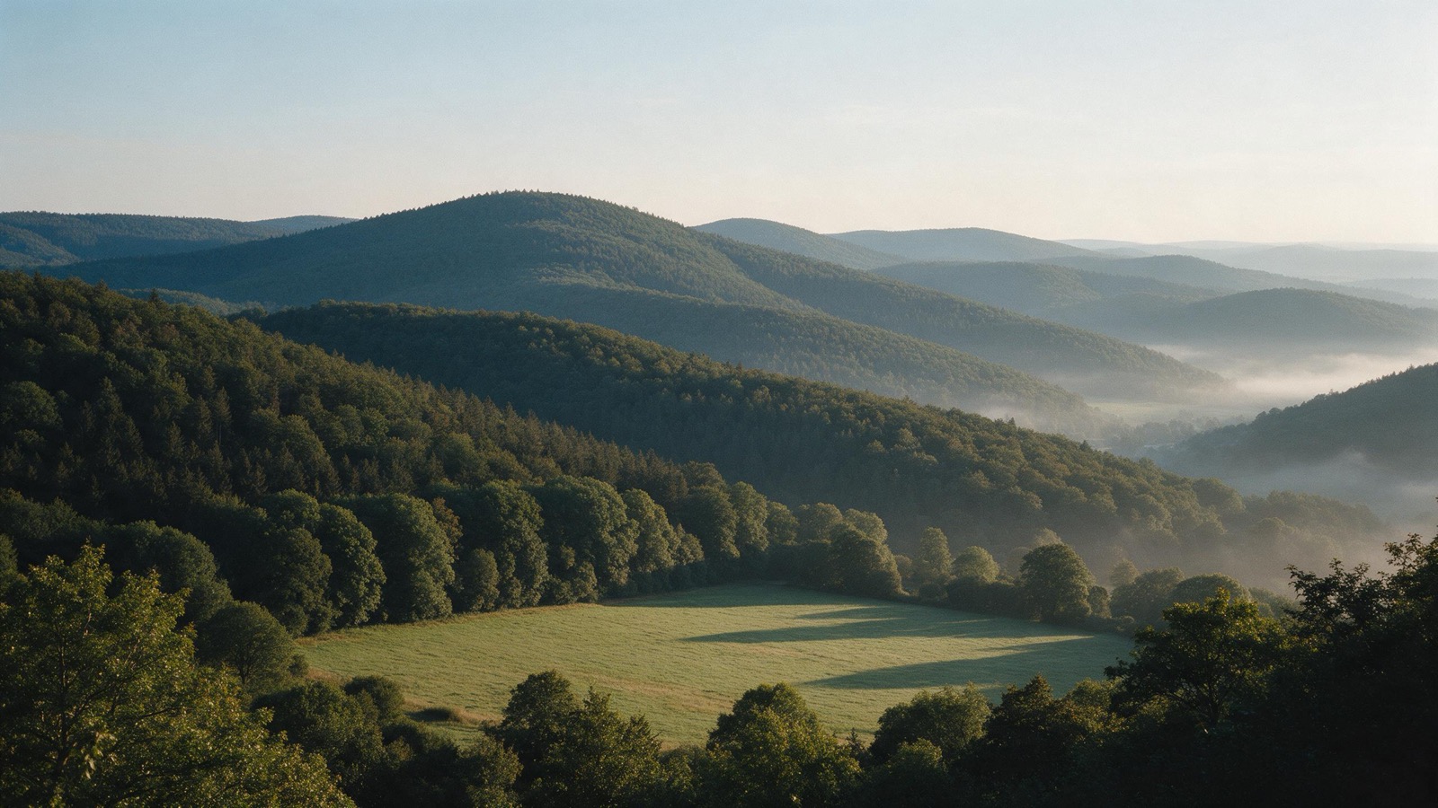
Thuringia sits in the middle of Germany and is a third forest. In the south the Thuringian Forest runs across the state as one long ridge, in the west the Hainich holds the largest continuous broadleaf forest in the country, and in the east the Saale is dammed into a chain of reservoirs.
The year in this region
October: Beech leaves in the Hainich
At around 160 square kilometres the Hainich is the largest continuous broadleaf forest in Germany. The national park covers 7500 hectares in its southern part, and parts of it have been World Natural Heritage since June 2011. In October the leaves turn. Beech sets the tone, and among them grow lime trees and the rare wild service tree.
In the middle of the month the sun rises at 7:38 AM and sets at 6:25 PM. That leaves 10 hours and 47 minutes of daylight.
What nature does this month
- Apple picking starts around October 5 (usually between September 27 and October 15)
- Beech turns to autumn colours around October 13 (usually between October 7 and October 20)
- Oak turns to autumn colours around October 20 (usually between October 13 and October 26)
Water and air: Open-Meteo, measured averages. How busy: share of school holidays 2027 across all sixteen federal states. Nature dates: German Weather Service, phenological observations 2014 to 2026 at 381 stations in the region, typical day.
Tours in this region
Marked tours that fit into a day from a site, and one multi day tour per kind.
- Hiking
Rennsteig
The best known ridge trail in Germany, first documented in 1330 and waymarked without a break since 1913. It stays on the ridge almost the whole way, mostly between five hundred and nine hundred metres, just under a thousand at the Großer Beerberg, mostly through spruce forest, with beech and open mountain meadows in between, and views down both sides of the range. The old boundary stones along it still carry the arms of the principalities that met here.
169 kmMulti day tour
- Hiking
Goethewanderweg
The path from Ilmenau over the Kickelhahn to Stützerbach that Goethe walked again and again during his stays in the Thuringian forest. It climbs out of the town through mountain woods to the summit, where the Goethe cabin and the lookout tower stand. Nineteen kilometres, a day's walk with a good seven hundred metres of ascent.
18.8 km
- Hiking
Pummpälzweg
Named after the goblin of Thuringian folklore who lay in wait for walkers and had them carry him. The trail links the Wartburg near Eisenach with Bad Salzungen by way of Ruhla and the Kissel, and along its twenty-eight kilometres stand some thirty wooden figures from Thuringian legends. Along the way lie a cave below the Wartburg, a grotto on the Rennsteig, and, at the end, a lake that formed when the ground gave in.
28.1 km
- Cycling
Werratal-Radweg
The route follows the Werra from its source in the Thuringian slate mountains down to where it meets the Fulda. It stays in the valley almost throughout, so it is flat, and crosses from bank to bank over old stone bridges. Half timbered towns that came through the war stand on either side.
309.9 kmMulti day tour
- Cycling
Saaleradweg
Section 5 - Von Saalfeld nach Jena
The stage from Saalfeld to Jena begins below the Saale chain, whose five reservoirs lie upstream, and follows the free running Saale past Rudolstadt and Kahla. The valley is narrow, the slopes wooded, and castle ruins stand on the rock spurs above. Shortly before Jena the view opens onto the shell limestone slopes.
57.2 km154 m ascent
- Cycling
Saaleradweg
From the source in the Fichtel mountains to where the river joins the Elbe, straight through Bavaria, Thuringia and Saxony-Anhalt. The route moves from a narrow slate valley over the reservoirs into the open Saale-Unstrut country with its vine terraces. It only gets easy from Saalfeld on; before that it takes in many climbs.
419 kmMulti day tour
- Cycling
Feldatalradweg
A short route along the Felda, from the Rhön down to the Werra. It runs through meadows and small villages, following the track of the disused Felda railway for long stretches between Weilar and Kaltennordheim, and further south over two longer climbs. Good for a full day, and especially for families on the northern section as far as Kaltennordheim.
41 km
- Canoeing
Kanuwandern auf der Werra
The Werra is calm enough for beginners and long enough for several days. It meanders through a valley of red sandstone and shell limestone, past rock faces and castles, with plenty of places to land. A good dozen weirs have to be carried around, and the portages are signposted.
176.6 kmMulti day tour
- Cross country skiing
Loipe 29 Schmalkalder Stieg
A short cross country track below the Rennsteig near Tambach-Dietharz, cut as soon as there is enough snow. It runs mostly through forest and so out of the wind, but climbs steadily throughout and counts as moderately demanding. Classic style takes a good hour.
6.4 km
Tours: © OpenStreetMap contributors, ODbL. Lengths computed from the mapped course, as of September 12, 2026.
Animals you can meet here
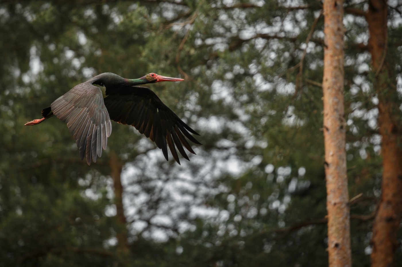 March to September
Black stork
Unlike its white relative it avoids villages and lives hidden in old forest, along streams with shallow water. If you see one it is usually in flight over a clearing, and that stays a rare moment.
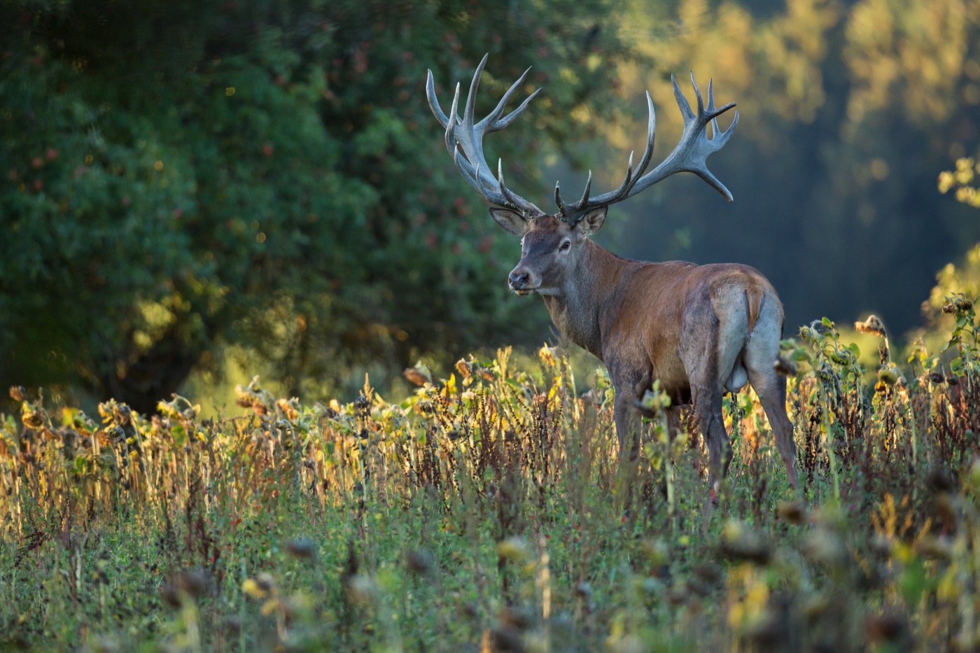 September to October
Red deer
The rut starts in September, and then the stags roar mainly early in the morning, in the evening and at night. You hear them from far away, and many forests have hides at the meadows where you may watch.
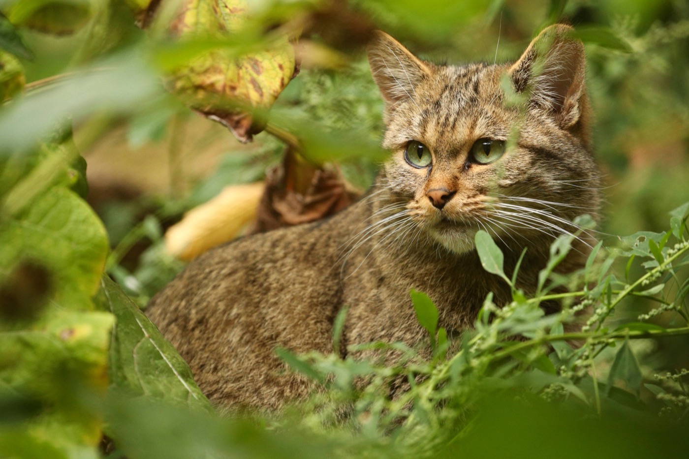 all year
European wildcat
The wildcat needs old broadleaf forest with dead wood and cover, and that is exactly what grows here. It is shy and moves at dusk, so most guests meet one in a wildcat enclosure or follow its tracks on one of the trails.
 February to June
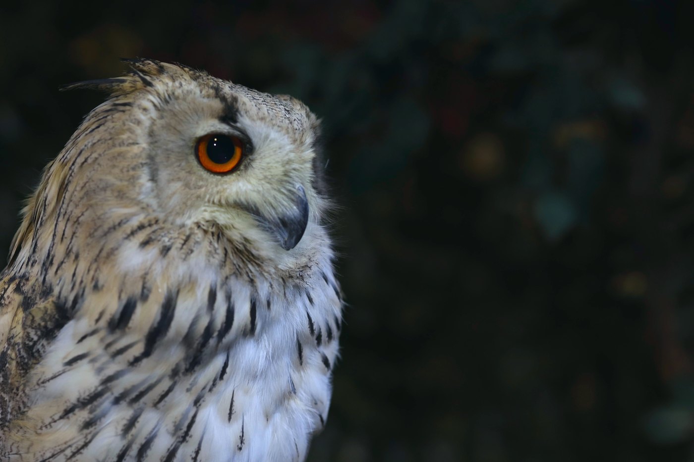
Eagle owl
The largest owl in Europe nests on rock ledges and in old quarries. From February the male calls at dusk, a deep soft hoot that carries across the whole valley.
Pictures: Freepik
Dark skies
Places certified by DarkSky International.
Sternenpark Rhön
The biosphere reserve where three states meet is among the darkest country in central Germany. The Hohe Geba has observing platforms for telescopes, and a dozen open air sky sites come with loungers and star charts.
Getting there
- 0 h 50 minErfurt
- 2 h 00 minLeipzig
- 2 h 10 minNürnberg
- 2 h 40 minFrankfurt am Main
- 3 h 30 minBerlin
- 4 h 00 minMünchen
Good to know
Mühlenfähre across the Hohenwarte-Stausee
The Mühlenfähre crosses the Hohenwarte-Stausee between Altenroth and Linkenmühle and saves a 33 kilometer detour. It runs from Maundy Thursday to the end of October and takes a short break at midday. The crossing takes five minutes. Motorhomes board depending on their height.
Reservoirs with a changing level
The dams on the upper Saale work for power generation, and the water level moves accordingly. Swimming is allowed and is at your own risk; only a few areas are closed off, such as the strip in front of the dam wall. Away from the marked bathing places the banks drop away steeply.
The Rennsteig has no road
The ridge route is a footpath, and most of the sites are down in the valleys, though a few, such as in Oberhof, sit up on the ridge itself. The approach roads are steep and narrow, and snow and ice there make the drive harder than in the valley. Coming by motorhome means planning the way up in advance.
Woodpeckers in the Hainich
The Hainich counts as one of the richest woodpecker forests in Germany, because dead wood has been left standing there for decades. In spring the drumming carries across half the forest. Away from the paths the forest is left to itself.
Dry grassland burns fast
Around the Kyffhäuser and along the southern Harz gypsum belt, dry grassland sits on gypsum. The shallow ground there dries out fast, and the grass is bone dry by summer. Fire is prohibited there all year. The ground underneath is also full of holes, and new sinkholes still appear.
Wildcats in the Hainich
The Hainich is one of the areas with a particularly high density of wildcats in Germany, and a few dozen live in the national park. A dog running loose drives the animals away from their young, which is why leads are required. A kitten alone in the wood is not abandoned, by the way, the mother is out hunting.
Protected landscapes
Names and boundaries: © OpenStreetMap contributors.
About this region
The Rennsteig runs along the ridge of the Thuringian Forest, the Hainich national park in the west holds the largest continuous deciduous forest in Germany, and the Saale reservoirs lie in the east.
The Rennsteig is well used at weekends, the Hainich rarely. Many sites sit on the reservoirs, where you can swim.
